Climate intelligence for Nigeria and Africa
Practical analysis of hazards, policy and the newest geospatial AI, written for decision-makers.

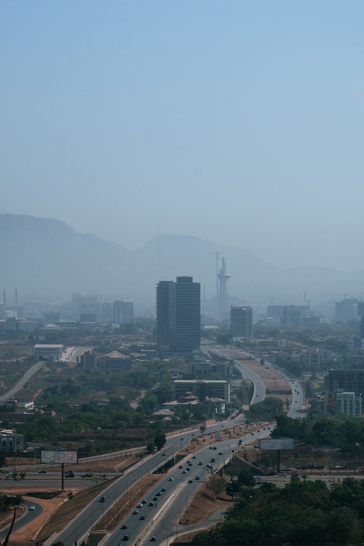
How to Maximise Nigeria's Renewed National Geospatial Data Push
From the 2026 national geospatial database initiative to NGDI and Land4Growth, Nigeria is finally investing in foundational maps. Here's how the private sector can benefit.
2026-10-18 · 5 min read

N-ATLAS and Nigeria's Open-Source AI Push: What It Means for Climate Services
Nigeria's multilingual open-source model understands Hausa, Yoruba and Igbo. Paired with geospatial AI, it can make climate warnings truly local.
2026-10-16 · 5 min read
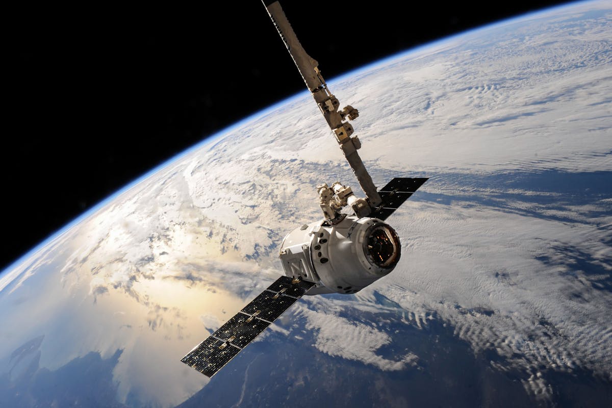
Geospatial Foundation Models, Explained for African Decision-Makers
Prithvi, TerraMind, Clay and others are changing how satellite data is analysed. What they are, why they matter for Africa, and how to start.
2026-10-14 · 7 min read
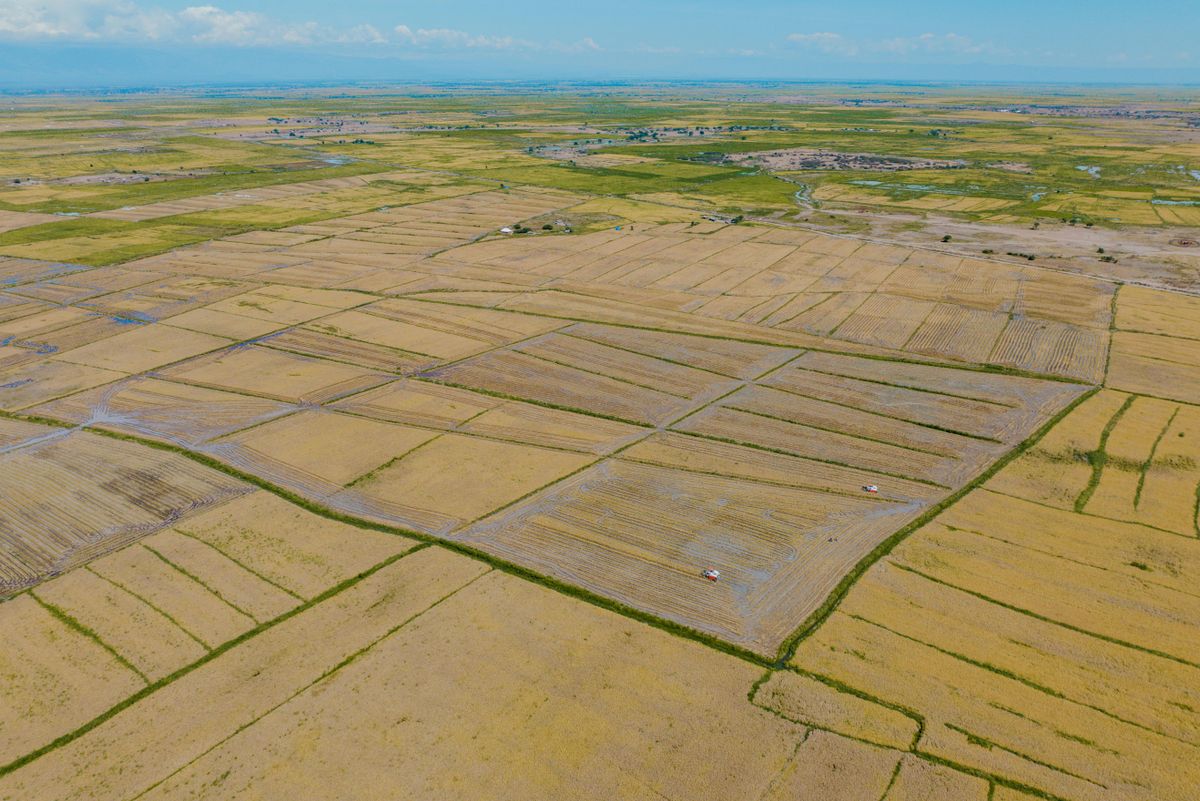
Earth Embeddings: The Satellite Shortcut Nigerian Agriculture Needs
Pre-computed Earth embeddings such as Google's AlphaEarth Foundations dataset let teams map farmland and crops with a fraction of the data and compute.
2026-10-12 · 5 min read
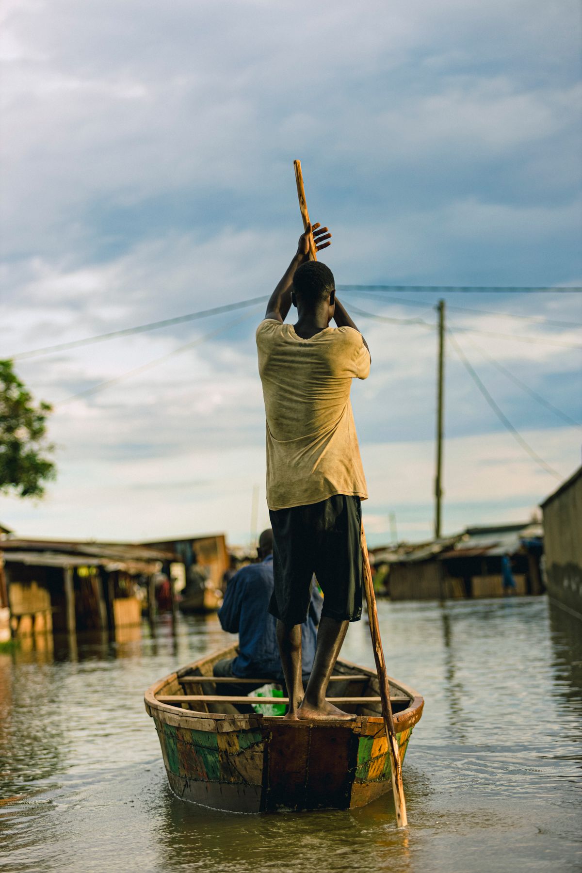
After Mokwa: Building Impact-Based Flood Early Warning in Nigeria
The 2025 Mokwa disaster showed that knowing it will rain isn't enough. Here's what an impact-based flood warning system needs.
2026-10-10 · 6 min read
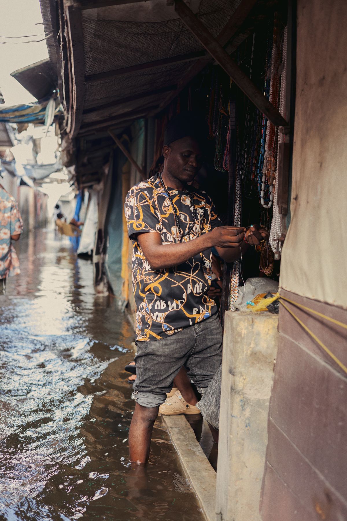
Flood-Season Resilience Checklist for Nigerian Businesses
A practical, data-driven checklist for warehouses, factories, farms and retail chains to cut flood losses every rainy season.
2026-10-08 · 4 min read
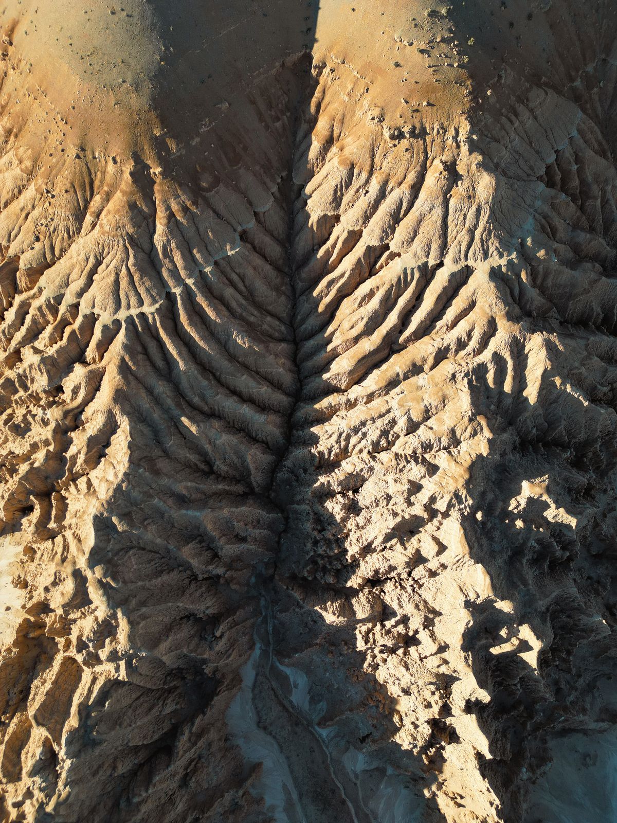
Stopping Gully Erosion in South-East Nigeria with Satellite Monitoring
InSAR, high-resolution elevation models and AI can spot unstable slopes before they become road-swallowing gullies.
2026-10-06 · 5 min read
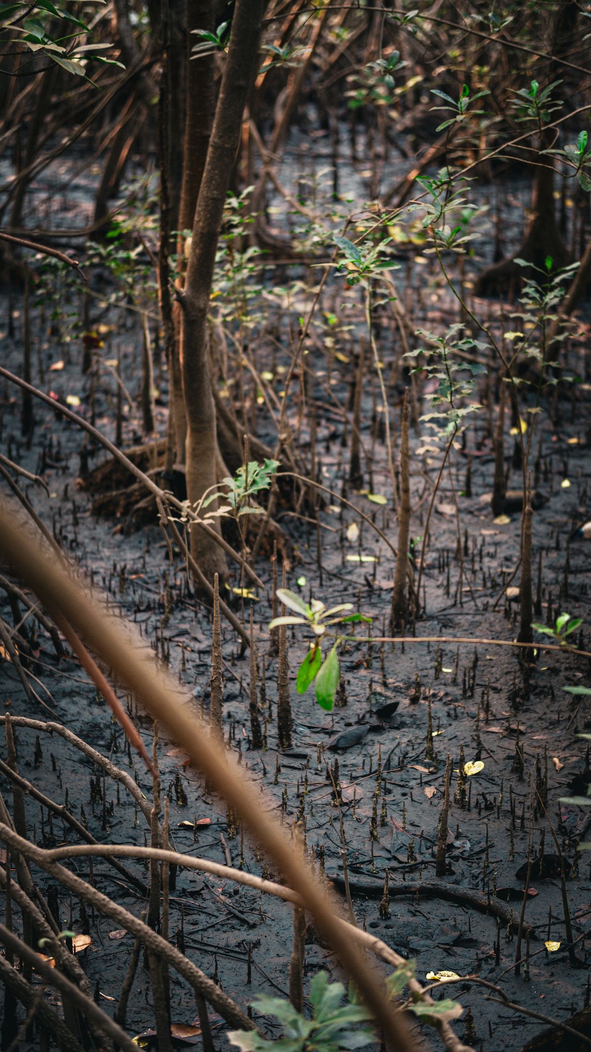
Nigeria's Carbon Market Moment: Why Satellite MRV Decides Credit Value
With the Carbon Market Activation Policy and Article 6 deals, Nigerian projects need credible, satellite-based MRV to attract premium buyers.
2026-10-04 · 5 min read
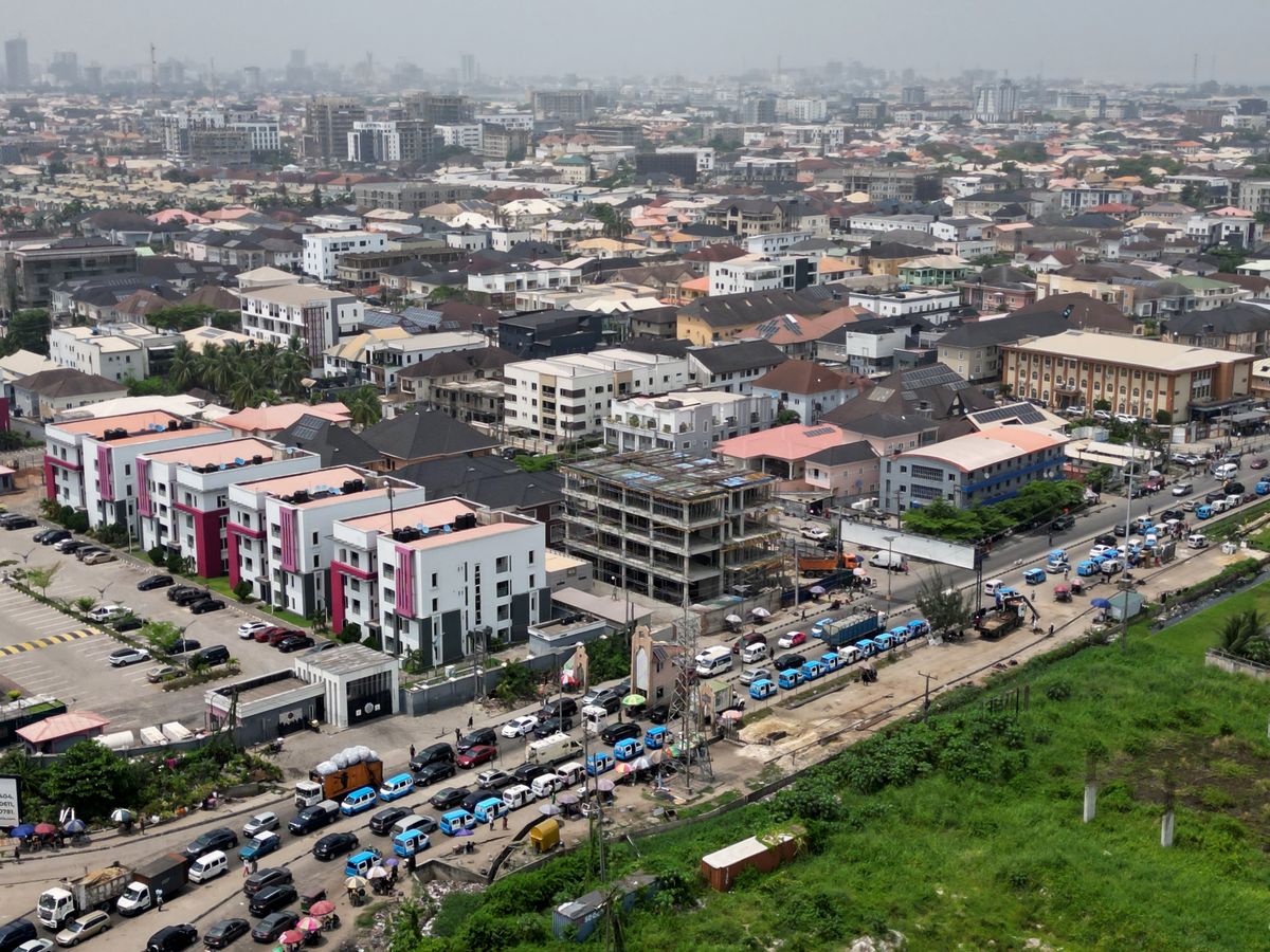
Lagos Is Heating Up: Using Data to Fight Urban Heat and Air Pollution
Satellite land-surface temperature and low-cost sensors reveal which Lagos neighbourhoods are hottest and most polluted, and what to do about it.
2026-10-02 · 5 min read
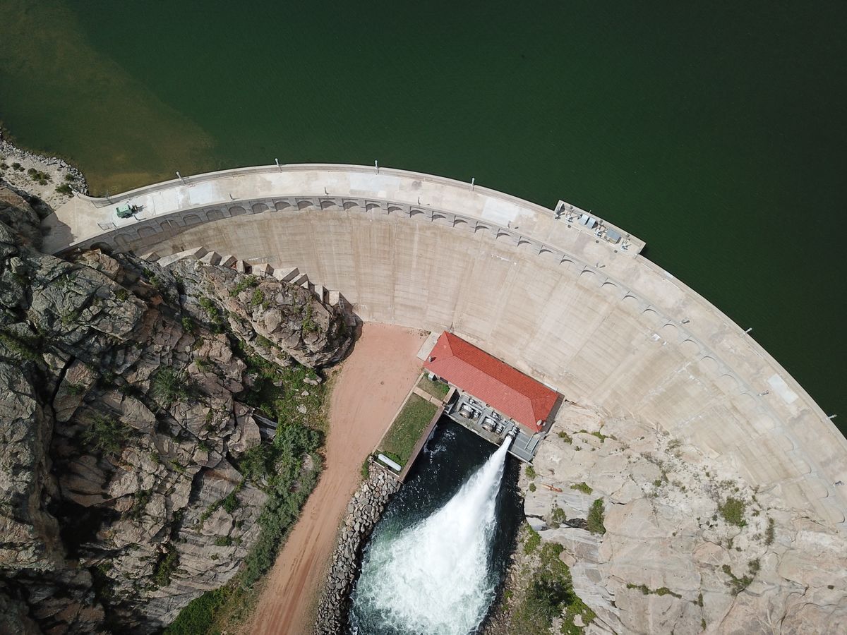
Alau Dam Collapse: Lessons for Dam Safety Monitoring in Nigeria
The 2024 Maiduguri flood displaced at least 400,000 people. Here's how satellites and dam-break models can stop the next one from becoming a disaster.
2026-09-30 · 5 min read
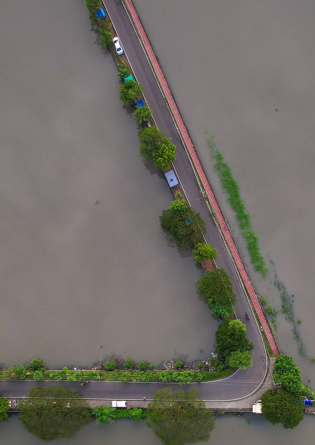
How to Use NIHSA's Annual Flood Outlook for Your LGA or Business
The Annual Flood Outlook flags high-risk LGAs every year. Here's how to turn its maps into concrete preparedness actions.
2026-09-28 · 4 min read
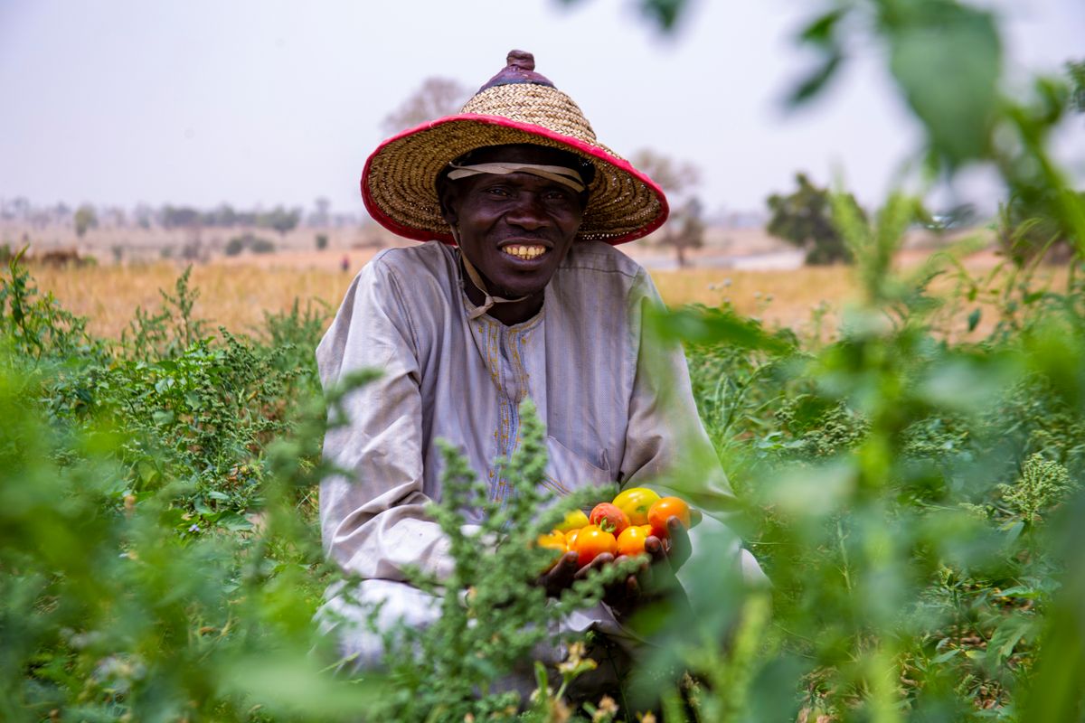
NiMet's Seasonal Climate Prediction: A Practical Guide for Farmers and Agribusiness
Onset dates, season length and dry spells: how to turn NiMet's Seasonal Climate Prediction into planting and input decisions.
2026-09-26 · 4 min read
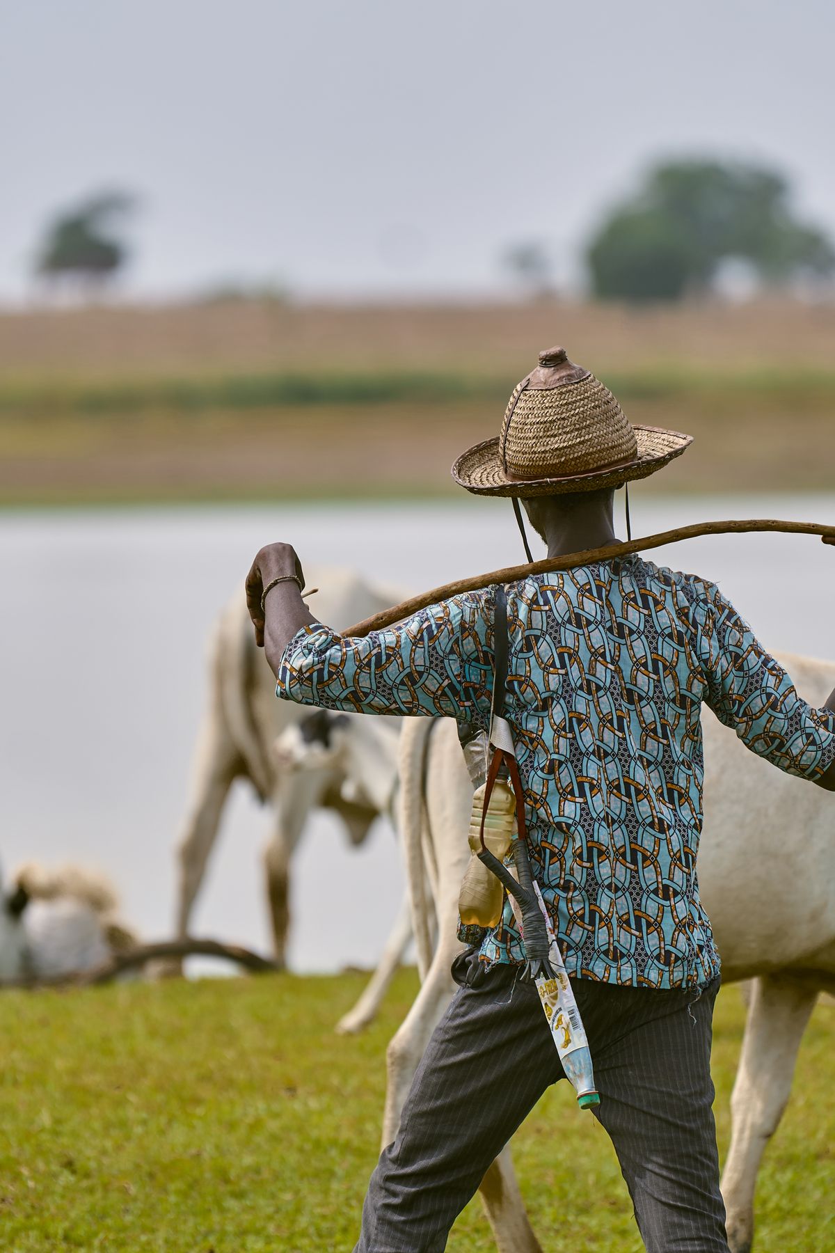
Lake Chad, Drought and Food Security: What Satellites Reveal
FAO estimates Lake Chad shrank by about 90% between 1963 and 2001. Satellite monitoring can guide resilience and early action across the basin.
2026-09-24 · 5 min read

Measuring the Great Green Wall: Satellite Monitoring Against Desertification
Northern Nigeria is central to Africa's Great Green Wall. Satellite monitoring shows where restoration is working and where it isn't.
2026-09-22 · 4 min read

Lagos on the Edge: Tracking Coastal Erosion and Ocean Surge from Space
Shoreline retreat and ocean surges threaten homes, roads and estates along Nigeria's Atlantic coast. Decades of imagery show where the coast is moving.
2026-09-20 · 4 min read

Solar Mini-Grid Site Selection with Geospatial Data: A DARES-Era Playbook
The World Bank's $750M DARES programme aims to bring electricity to 17.5 million Nigerians. Geospatial site selection decides which projects pay off.
2026-09-18 · 5 min read

Building a WhatsApp and SMS Early Warning System for Communities
The best forecast is useless if it doesn't reach people. A practical design for multichannel, multilingual community alerts in Nigeria.
2026-09-16 · 4 min read

Anticipatory Action: Getting Cash to Families Before the Flood
Acting on forecasts rather than after disasters costs less and protects more. How forecast-based financing could work in Nigeria.
2026-09-14 · 4 min read
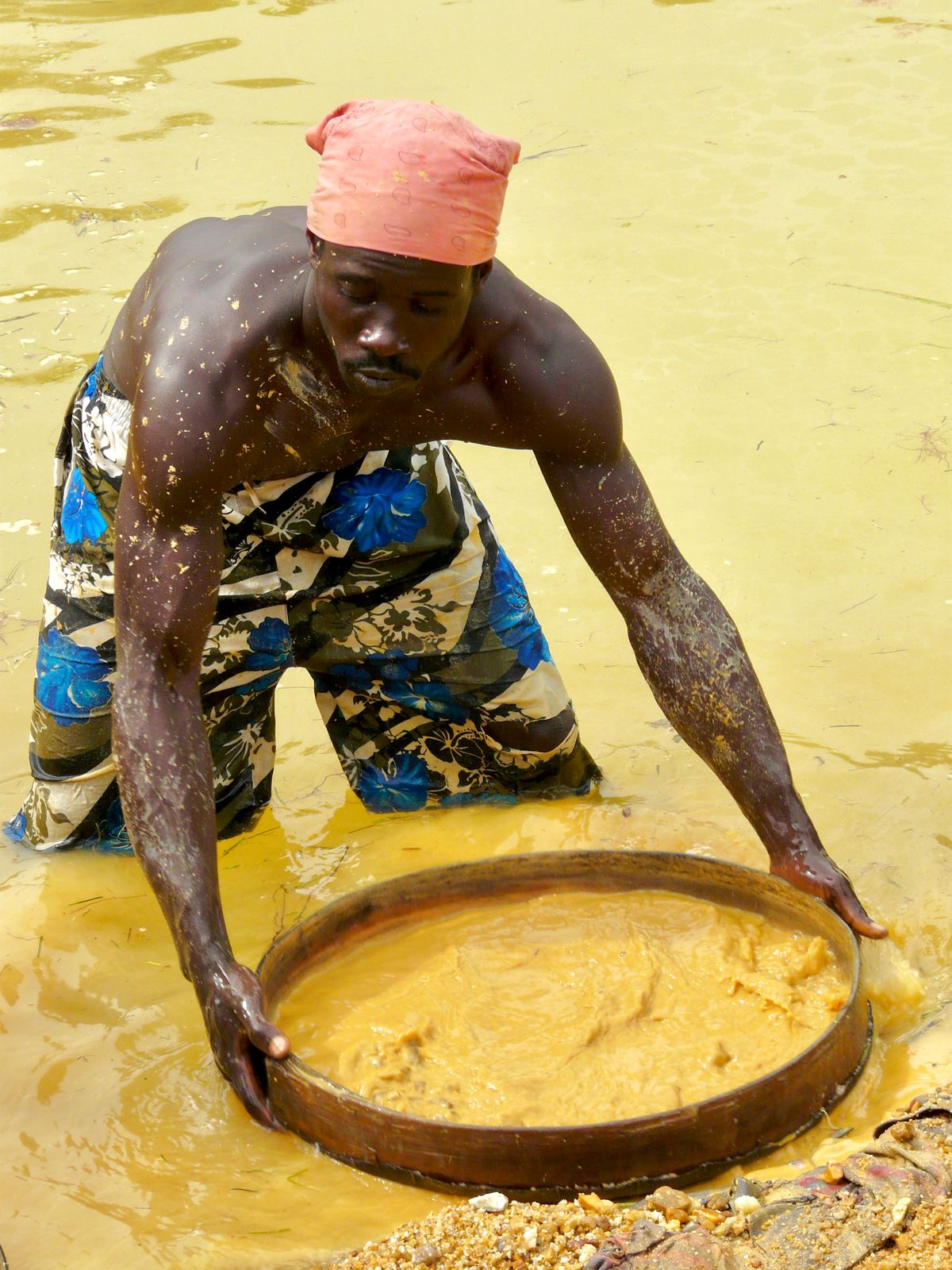
Detecting Illegal Mining with Sentinel-2: A Guide for West African Regulators
From Ghana's galamsey to artisanal pits in northern Nigeria, weekly satellite change detection can find illegal mining fast.
2026-09-12 · 4 min read
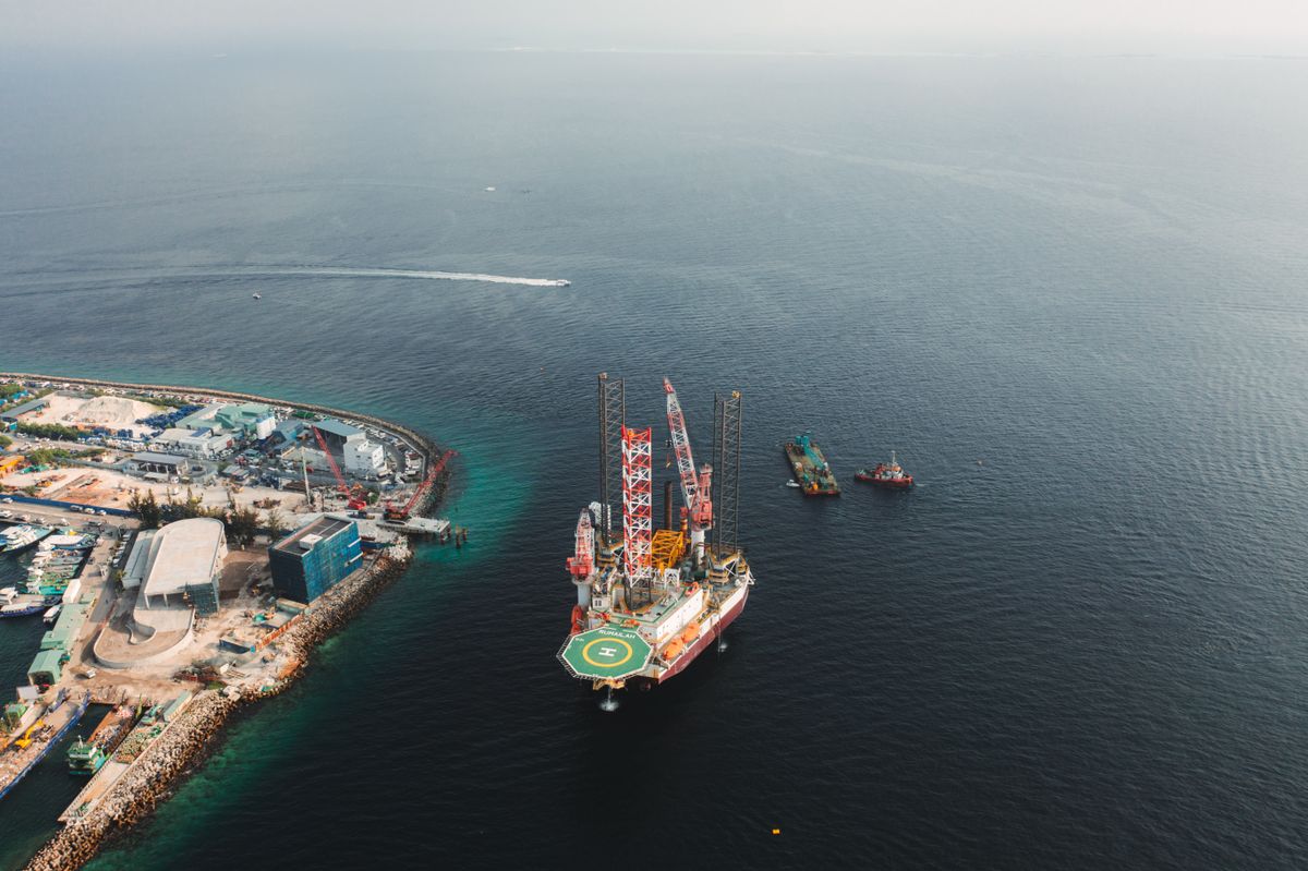
Oil Spill Detection with Radar Satellites: A Niger Delta Guide
Synthetic aperture radar sees oil slicks day or night, through clouds. How it supports faster response and transparent clean-up.
2026-09-10 · 5 min read

IFRS S2 in Nigeria: What Physical Climate-Risk Disclosure Requires
The FRC roadmap makes IFRS S1 and S2 mandatory for public interest entities from 2028. Here's how to assess physical climate risk to your assets.
2026-09-08 · 5 min read
12 Open Geospatial Data Sources Every Nigerian GIS Team Should Use
You don't need a big budget to start. These free datasets cover imagery, population, rainfall, terrain and infrastructure for Nigeria.
2026-09-06 · 4 min read

Geospatial Careers in Nigeria: The Skills in Demand for 2026 and Beyond
GeoAI, cloud processing and domain expertise are reshaping GIS jobs. A guide for students, professionals and employers.
2026-09-04 · 4 min read
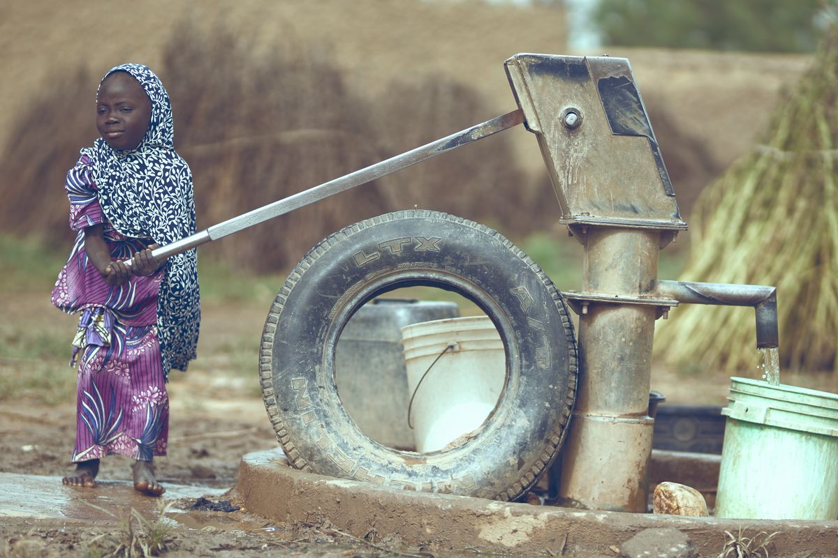
Smart Water: IoT and Predictive Maintenance for Community Boreholes
Broken boreholes leave communities without water for weeks. Sensors and simple analytics can predict failures before they happen.
2026-09-02 · 4 min read