Solar Mini-Grid Site Selection with Geospatial Data: A DARES-Era Playbook
The World Bank's $750M DARES programme aims to bring electricity to 17.5 million Nigerians. Geospatial site selection decides which projects pay off.
StrikeClimate Insights Team · · 5 min read
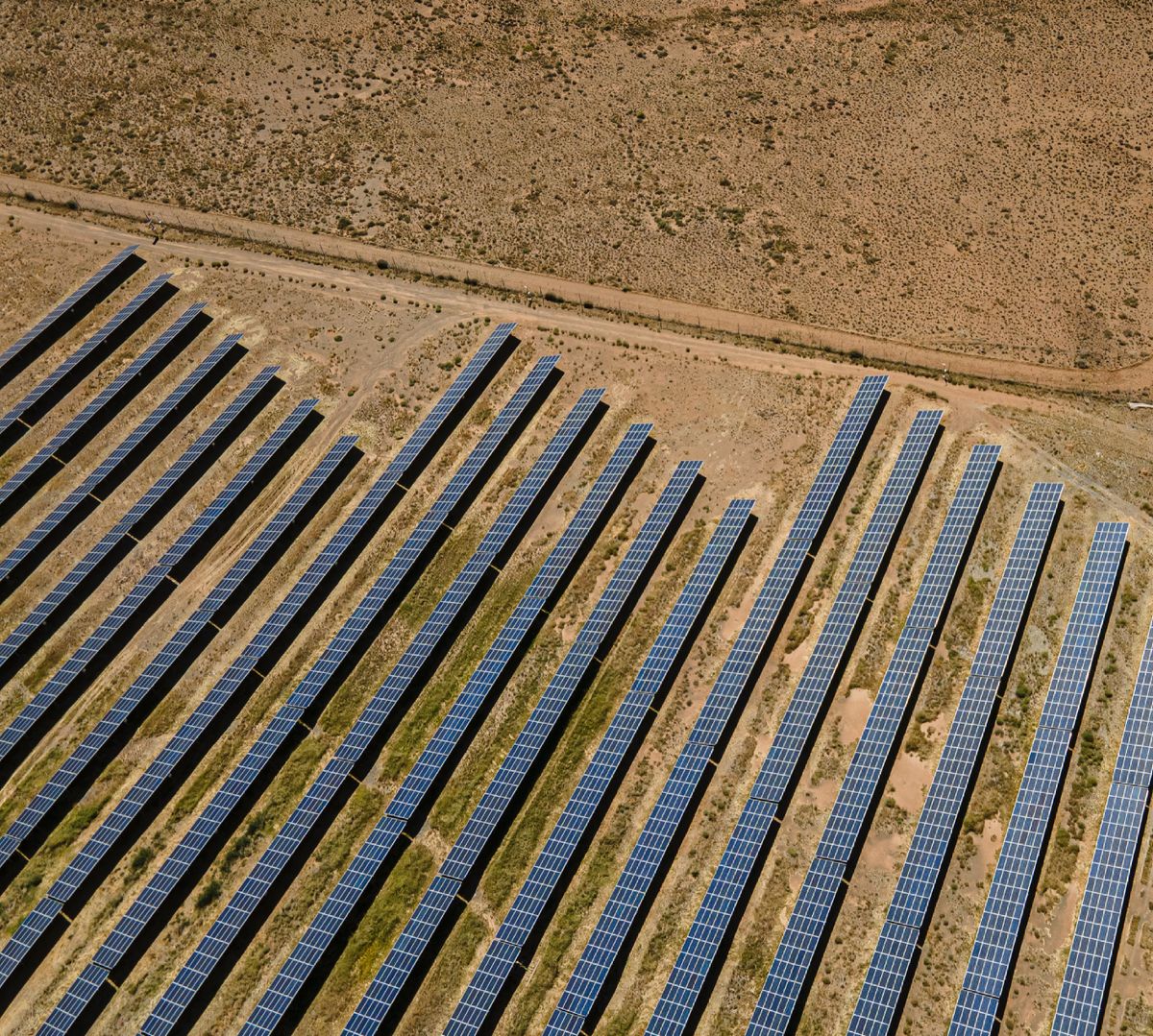
More than 85 million Nigerians lacked access to electricity as of 2021, according to the World Bank. Its $750 million DARES (Distributed Access through Renewable Energy Scale-up) programme aims to provide new or improved access for about 17.5 million people through solar mini-grids and stand-alone systems.
Why siting makes or breaks a mini-grid A mini-grid's economics depend on how many customers connect, how much power they use and how much it costs to build. Poor siting leads to under-used systems and stranded investment.
The geospatial toolkit - Building footprints to count potential connections and their density. - Night-time lights to identify unelectrified settlements and economic activity. - Solar irradiance for generation estimates. - Distance to the grid to avoid sites the grid will soon reach. - Productive-use signals: markets, mills, clinics and farms that anchor demand. - Access and terrain for construction and maintenance costs.
A simple scoring workflow 1. Screen all settlements in a state. 2. Score them on demand, cost and risk. 3. Field-validate the top candidates. 4. Forecast load for system sizing. 5. Package bankable site reports for financiers.
Beyond siting The same data supports tariff design, productive-use programmes and impact reporting.
StrikeClimate builds site-selection and demand-forecasting pipelines for mini-grid developers and investors.
- #DARES
- #mini-grids
- #solar
- #energy access
Keep reading

Nigeria's Digital Postcode System: 7 Ways Businesses and Governments Can Use It
The GIS-based National Digital Alphanumeric Postcode System gives every building a machine-readable address. Here's how to turn it into revenue, resilience and better services.
2026-10-20 · 6 min read
How to Maximise Nigeria's Renewed National Geospatial Data Push
From the 2026 national geospatial database initiative to NGDI and Land4Growth, Nigeria is finally investing in foundational maps. Here's how the private sector can benefit.
2026-10-18 · 5 min read

N-ATLAS and Nigeria's Open-Source AI Push: What It Means for Climate Services
Nigeria's multilingual open-source model understands Hausa, Yoruba and Igbo. Paired with geospatial AI, it can make climate warnings truly local.
2026-10-16 · 5 min read