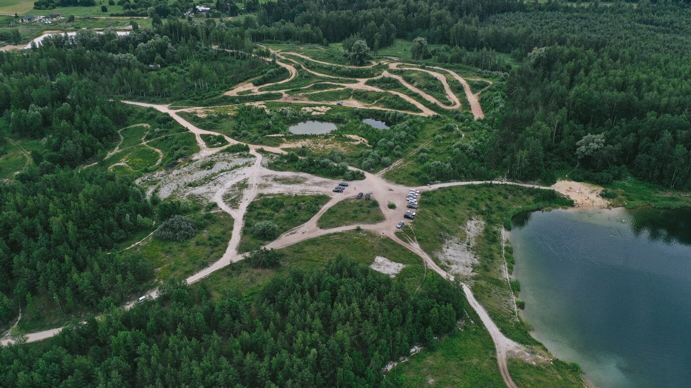
See climate hazards before they strike
StrikeClimate turns satellite data, AI and IoT sensors into early warnings, risk maps and decision dashboards, so governments, businesses and communities in Nigeria and across Africa can act early and save lives, money and land.
Powered by Sentinel · Landsat · NASA · NOAA · OpenStreetMap
- Flood risk ↑ · Lokoja confluence72h lead
- Heat stress · Lagos MainlandLST +4.1°C
- Mangrove gain · Niger Delta+2.3% YoY
Illustrative dashboard preview
Climate shocks are hitting Africa faster than decisions are made
Floods, heat, drought, erosion and pollution are growing more intense. Data exists in satellites and sensors, but it rarely reaches the people who must act in time.
662
lives lost and 2.4M+ people displaced in Nigeria's 2022 floods (NEMA)
200+
deaths in the May 2025 Mokwa flash flood, with hundreds more missing (AP)
85M+
Nigerians without access to electricity (World Bank, 2021)
Hours
is often all the warning communities get, when they get any
From satellite pixels to decisions that protect
We design, build and run climate intelligence systems for governments, enterprises, NGOs and investors.
Disaster Prediction & Prevention Applications
StrikeClimate develops cutting-edge applications leveraging extensive data on disaster prediction and prevention. These applications utilize advanced algorithms and real-time data to forecast and mitigate environmental hazards, empowering communities to proactively respond to potential disasters.
Environmental Monitoring Devices
StrikeClimate designs and manufactures innovative environmental monitoring devices that enable real-time tracking of key environmental indicators. These devices provide valuable insights into air quality, water pollution, and other environmental factors, facilitating informed decision-making for individuals, organizations, and governments.
Net Zero-Carbon Technology Solutions
Through pioneering technological advancements, StrikeClimate facilitates the transition to a net zero-carbon environment. By developing and implementing sustainable energy solutions, carbon capture technologies, and eco-friendly practices, StrikeClimate helps reduce carbon emissions and combat climate change on a global scale.
Climate-Smart Agriculture & Food Security
StrikeClimate empowers farming communities with precision agritech tools from soil health analytics to AI-driven crop forecasting, helping smallholder farmers adapt to erratic weather patterns, reduce post-harvest losses, and strengthen food security across vulnerable regions.
Water Resource Intelligence Systems
StrikeClimate builds smart water monitoring platforms that track supply levels, detect contamination, and predict scarcity using real-time IoT data, ensuring communities and industries can manage this critical resource sustainably amid growing climate stress.
Renewable Energy Access & Integration
StrikeClimate accelerates clean energy adoption by designing decentralized solar and hybrid power solutions for off-grid communities. Our systems reduce reliance on fossil fuels, lower energy costs, and bring reliable electricity to the areas that need it most.
- Smart Solar & Renewable Energy Systems
- Climate-Resilient Early Warning Systems
- Precision AgriTech for Climate Adaptation
- Smart Water Management & Purification
- Carbon Credit & Ecosystem Monitoring
- Green Hydrogen & Clean Energy Storage
- Smart Solar & Renewable Energy Systems
- Climate-Resilient Early Warning Systems
- Precision AgriTech for Climate Adaptation
- Smart Water Management & Purification
- Carbon Credit & Ecosystem Monitoring
- Green Hydrogen & Clean Energy Storage
A clear path from question to measurable impact
Step 1
Assess
We scope your decision, hazards and geography in a free consultation.
Step 2
Model
We fuse satellite imagery, foundation models and local data into accurate risk intelligence.
Step 3
Deliver
You get dashboards, APIs and SMS/WhatsApp alerts in local languages.
Step 4
Measure
We track outcomes such as losses avoided and lead time gained, and keep improving.
Built for what's happening in Nigeria right now
From the new digital postcode to N-ATLAS and geospatial foundation models, here's how we put each development to work.


Projects and results
Selected solution deployments and pilots, with the outcomes we measure.


Built on trusted open data & platforms
- Copernicus Sentinel
- NASA Earthdata
- USGS Landsat
- NOAA
- Google Earth Engine
- OpenStreetMap
- GRID3
- CHIRPS
Ready to make climate risk your competitive edge?
Get a free 30-minute scoping session with our geospatial team. No obligation.
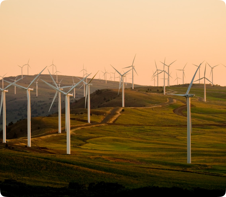
Our mission
Close the gap between climate science and the people most affected.
A Lagos research and product company for a net-zero, resilient Africa
We combine scientific research with product engineering to build applications and devices that predict, prevent and respond to environmental hazards. We start with African data realities: cloud cover, sparse labels, low connectivity and many languages.
- Research-driven, field-validated
- Open-data first, cost-efficient
- Mobile, offline and SMS-ready
- Privacy by design (NDPA 2023)
Latest from the StrikeClimate blog

Nigeria's Digital Postcode System: 7 Ways Businesses and Governments Can Use It
The GIS-based National Digital Alphanumeric Postcode System gives every building a machine-readable address. Here's how to turn it into revenue, resilience and better services.
2026-10-20 · 6 min read
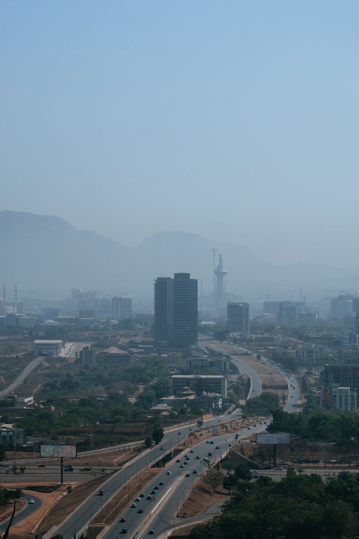
How to Maximise Nigeria's Renewed National Geospatial Data Push
From the 2026 national geospatial database initiative to NGDI and Land4Growth, Nigeria is finally investing in foundational maps. Here's how the private sector can benefit.
2026-10-18 · 5 min read

N-ATLAS and Nigeria's Open-Source AI Push: What It Means for Climate Services
Nigeria's multilingual open-source model understands Hausa, Yoruba and Igbo. Paired with geospatial AI, it can make climate warnings truly local.
2026-10-16 · 5 min read
Let's build your climate advantage
Tell us about your challenge. A geospatial and climate specialist will reply within one business day with next steps, often a free scoping call.