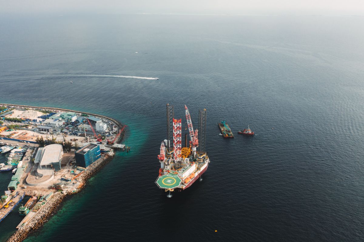
Oil Spill Detection with Radar Satellites: A Niger Delta Guide
Synthetic aperture radar sees oil slicks day or night, through clouds. How it supports faster response and transparent clean-up.
StrikeClimate Insights Team · · 5 min read
Oil spills in the Niger Delta damage mangroves, fisheries and livelihoods. Clean-up efforts such as HYPREP's Ogoniland programme are under constant public scrutiny. Fast detection and independent verification matter to communities, regulators and operators alike.
Why radar? Synthetic aperture radar (SAR), such as Sentinel-1, sends microwave pulses and measures what bounces back. Oil dampens small surface waves, so slicks look dark on radar images, day or night and through cloud.
Detection workflow 1. Acquire SAR scenes over rivers, creeks and coastal waters. 2. Flag dark patches with AI, then filter out look-alikes such as calm water and algae. 3. Cross-check with pipeline routes, AIS vessel data and optical imagery. 4. Alert response teams with coordinates and estimated slick size.
Monitoring recovery on land Spills on land and in mangroves are better tracked with optical vegetation indices. Mangrove die-back and regrowth show whether remediation is working over months and years.
Transparency dashboards Public dashboards showing spill alerts and remediation progress build trust between communities, companies and government.
StrikeClimate provides SAR-based spill alerts and remediation monitoring for regulators, operators and community organisations.
- #oil spill
- #SAR
- #Niger Delta
- #HYPREP
Keep reading
Nigeria's Carbon Market Moment: Why Satellite MRV Decides Credit Value
With the Carbon Market Activation Policy and Article 6 deals, Nigerian projects need credible, satellite-based MRV to attract premium buyers.
2026-10-04 · 5 min read

Measuring the Great Green Wall: Satellite Monitoring Against Desertification
Northern Nigeria is central to Africa's Great Green Wall. Satellite monitoring shows where restoration is working and where it isn't.
2026-09-22 · 4 min read
Detecting Illegal Mining with Sentinel-2: A Guide for West African Regulators
From Ghana's galamsey to artisanal pits in northern Nigeria, weekly satellite change detection can find illegal mining fast.
2026-09-12 · 4 min read