
Measuring the Great Green Wall: Satellite Monitoring Against Desertification
Northern Nigeria is central to Africa's Great Green Wall. Satellite monitoring shows where restoration is working and where it isn't.
StrikeClimate Insights Team · · 4 min read
The Great Green Wall is an African-led initiative to restore degraded land across the Sahel. Nigeria's frontline states in the north are central to it. Billions have been pledged, but one question keeps coming up: is the land actually getting greener?
The monitoring challenge Tree planting is easy to announce and hard to verify. Seedling survival, natural regeneration and farmer-managed agroforestry vary widely, and the area is vast.
How satellites help - Vegetation trends: multi-year NDVI and canopy-cover analysis show where vegetation is recovering. - Tree detection: high-resolution imagery and AI can count individual trees in drylands. - Foundation models and embeddings: consistent land-cover classification across years and countries. - Fire and grazing pressure: burn-scar mapping reveals threats to young restoration sites.
What good restoration reporting looks like 1. Geotagged project boundaries. 2. A transparent baseline before planting. 3. Annual survival and canopy metrics. 4. Community-verified ground truth. 5. Public dashboards for funders.
Why it matters for carbon finance Verified restoration can generate carbon and biodiversity credits. With Nigeria's carbon market framework now in place, good MRV turns restoration into a revenue stream for communities.
StrikeClimate builds restoration-monitoring dashboards for states, NGOs and project developers.
- #Great Green Wall
- #desertification
- #restoration
- #Sahel
Keep reading
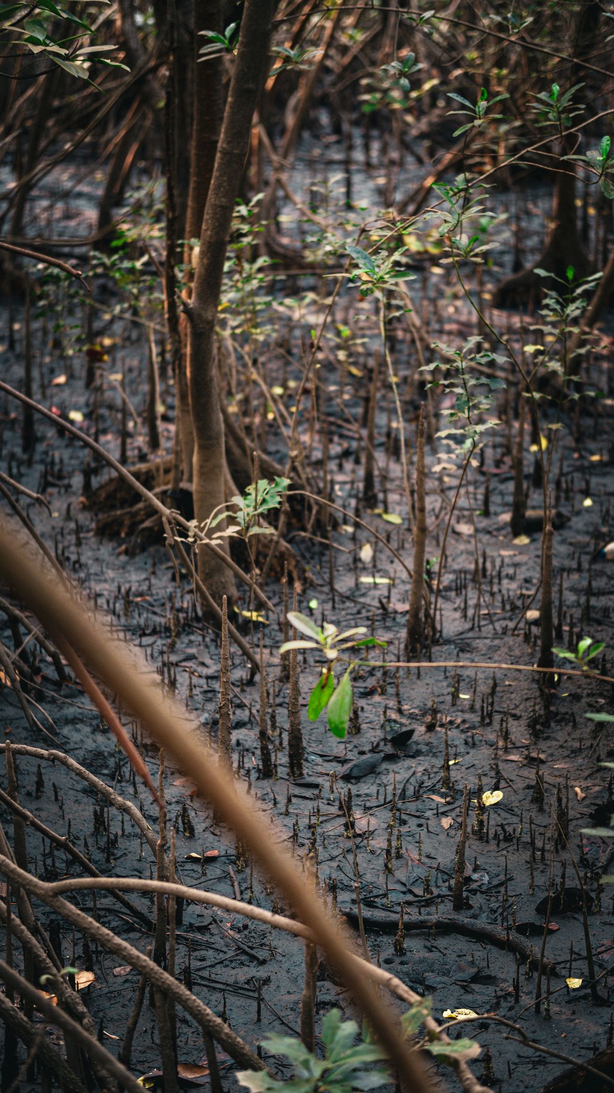
Nigeria's Carbon Market Moment: Why Satellite MRV Decides Credit Value
With the Carbon Market Activation Policy and Article 6 deals, Nigerian projects need credible, satellite-based MRV to attract premium buyers.
2026-10-04 · 5 min read
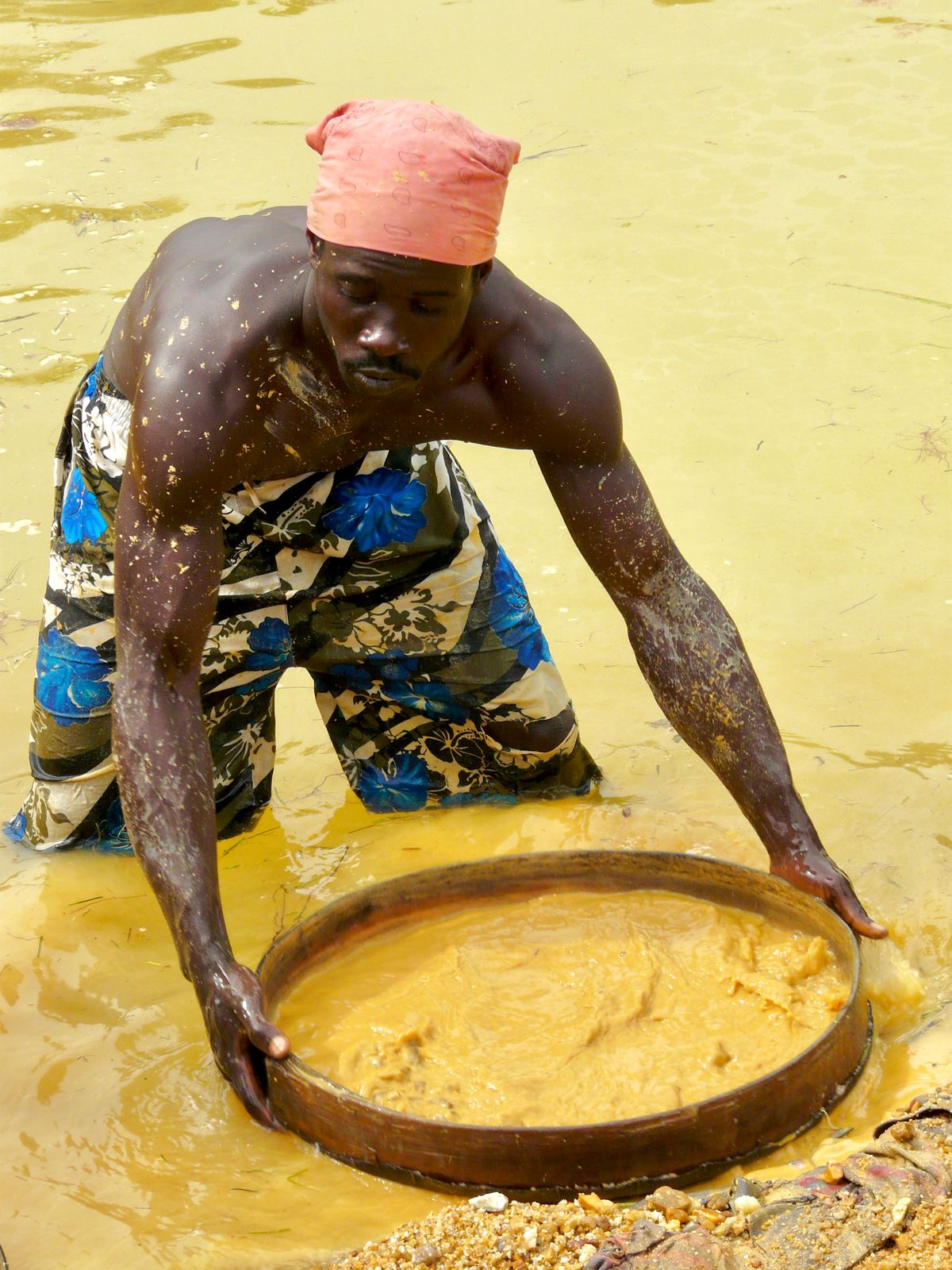
Detecting Illegal Mining with Sentinel-2: A Guide for West African Regulators
From Ghana's galamsey to artisanal pits in northern Nigeria, weekly satellite change detection can find illegal mining fast.
2026-09-12 · 4 min read
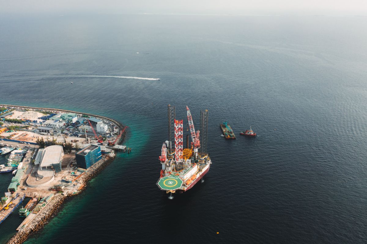
Oil Spill Detection with Radar Satellites: A Niger Delta Guide
Synthetic aperture radar sees oil slicks day or night, through clouds. How it supports faster response and transparent clean-up.
2026-09-10 · 5 min read