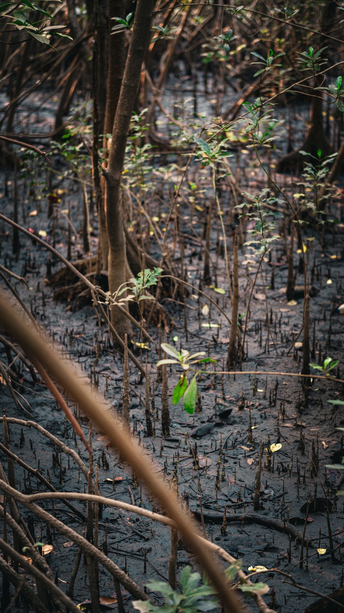
Nigeria's Carbon Market Moment: Why Satellite MRV Decides Credit Value
With the Carbon Market Activation Policy and Article 6 deals, Nigerian projects need credible, satellite-based MRV to attract premium buyers.
StrikeClimate Insights Team · · 5 min read
Nigeria's Carbon Market Activation Policy (finalised March 2025), the National Carbon Market Framework approved ahead of COP30, and growing interest in Article 6 bilateral deals have put the country on the map for carbon finance. But the global market has changed. After a wave of criticism of low-quality credits, buyers now pay a premium only for measurable, verifiable and permanent impact.
MRV is the product Measurement, Reporting and Verification (MRV) is what turns a tree-planting project into a tradable asset. Satellite-based MRV provides: - Baselines: historical forest, mangrove or soil-carbon conditions. - Monitoring: annual or more frequent canopy and biomass estimates. - Leakage checks: detecting deforestation displaced outside project boundaries. - Permanence evidence: fire, logging and degradation alerts.
Where Nigeria has an edge - Mangroves of the Niger Delta, among Africa's largest blue-carbon stores. - Cross River and southern rainforests for REDD+. - Degraded savannah in the north for restoration and agroforestry.
What modern MRV looks like Foundation models and Earth embeddings now make it possible to map canopy height, biomass proxies and land-cover change consistently across years. That makes MRV cheaper and easier to audit.
Checklist for project developers - Define boundaries precisely with geotagged polygons. - Establish a transparent, reproducible baseline. - Plan continuous monitoring, not one-off reports. - Share dashboards with communities and buyers to build trust.
StrikeClimate delivers satellite MRV dashboards and baselines for nature-based projects across Nigeria and West Africa.
- #carbon credits
- #MRV
- #mangroves
- #Article 6
Keep reading

Measuring the Great Green Wall: Satellite Monitoring Against Desertification
Northern Nigeria is central to Africa's Great Green Wall. Satellite monitoring shows where restoration is working and where it isn't.
2026-09-22 · 4 min read
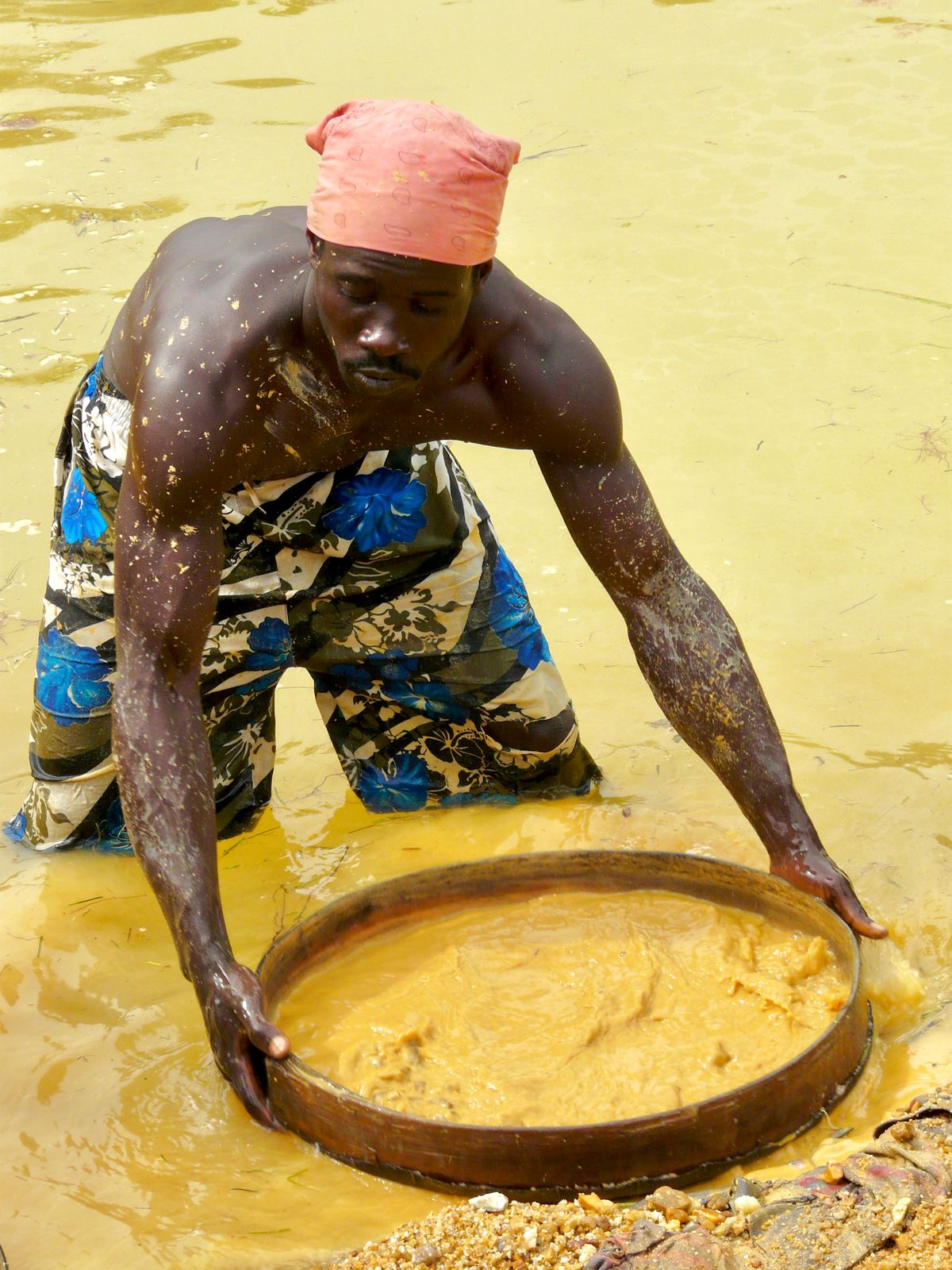
Detecting Illegal Mining with Sentinel-2: A Guide for West African Regulators
From Ghana's galamsey to artisanal pits in northern Nigeria, weekly satellite change detection can find illegal mining fast.
2026-09-12 · 4 min read
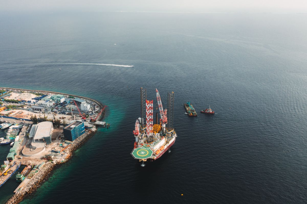
Oil Spill Detection with Radar Satellites: A Niger Delta Guide
Synthetic aperture radar sees oil slicks day or night, through clouds. How it supports faster response and transparent clean-up.
2026-09-10 · 5 min read