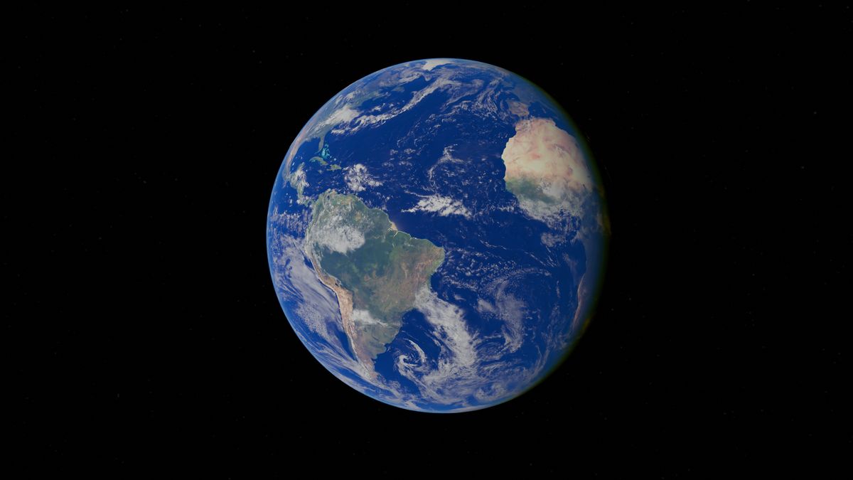
12 Open Geospatial Data Sources Every Nigerian GIS Team Should Use
You don't need a big budget to start. These free datasets cover imagery, population, rainfall, terrain and infrastructure for Nigeria.
StrikeClimate Insights Team · · 4 min read
Much of the data needed for climate and development analysis in Nigeria is free. Here are twelve sources we use regularly.
Imagery 1. Copernicus Sentinel-2: 10 m optical imagery every few days. 2. Copernicus Sentinel-1: radar that sees through clouds, ideal for floods. 3. Landsat (USGS/NASA): a 50-year archive for long-term change.
Population and settlements 4. GRID3 Nigeria: settlement extents, population estimates and facility locations. 5. WorldPop: gridded population estimates. 6. Open building footprints from major providers, covering most of Nigeria.
Climate and weather 7. CHIRPS: long-term satellite rainfall estimates. 8. ERA5 (Copernicus): historical climate reanalysis. 9. NiMet and NIHSA products: national forecasts and flood outlooks.
Terrain and infrastructure 10. Copernicus DEM: global elevation at 30 m. 11. OpenStreetMap: roads, waterways and points of interest, contributed by local mappers.
AI-ready layers 12. Earth embeddings such as AlphaEarth Foundations in Google Earth Engine, for rapid mapping with few labels.
Tips - Check licences before commercial use. - Validate against local ground truth. - Document versions and dates for reproducibility.
Need help turning these into decisions? StrikeClimate builds analysis pipelines on open data for public and private clients.
- #open data
- #GIS
- #Sentinel
- #GRID3
Keep reading

N-ATLAS and Nigeria's Open-Source AI Push: What It Means for Climate Services
Nigeria's multilingual open-source model understands Hausa, Yoruba and Igbo. Paired with geospatial AI, it can make climate warnings truly local.
2026-10-16 · 5 min read
Geospatial Foundation Models, Explained for African Decision-Makers
Prithvi, TerraMind, Clay and others are changing how satellite data is analysed. What they are, why they matter for Africa, and how to start.
2026-10-14 · 7 min read
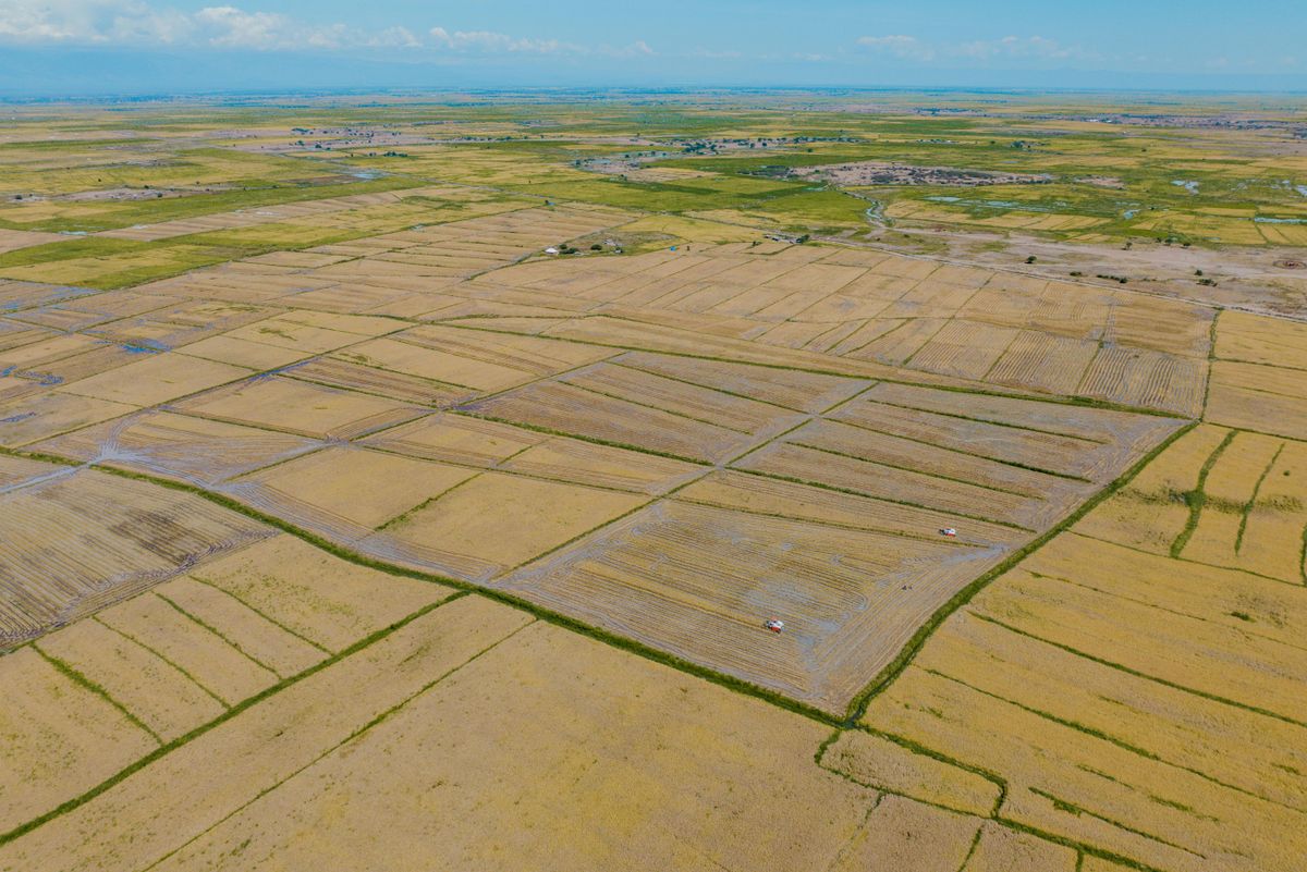
Earth Embeddings: The Satellite Shortcut Nigerian Agriculture Needs
Pre-computed Earth embeddings such as Google's AlphaEarth Foundations dataset let teams map farmland and crops with a fraction of the data and compute.
2026-10-12 · 5 min read