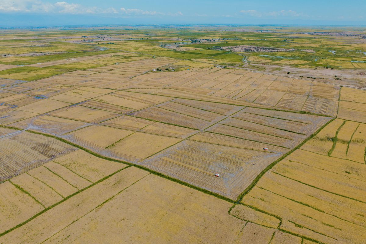
Earth Embeddings: The Satellite Shortcut Nigerian Agriculture Needs
Pre-computed Earth embeddings such as Google's AlphaEarth Foundations dataset let teams map farmland and crops with a fraction of the data and compute.
StrikeClimate Insights Team · · 5 min read
Earth embeddings are one of the most practical ideas to come out of geospatial AI. Instead of working with raw satellite pixels, a model compresses a year of multi-sensor observations for each patch of land into a compact vector, a kind of "fingerprint" of what that place is and how it behaves through the seasons.
Google DeepMind's AlphaEarth Foundations made a global annual embedding dataset available in Earth Engine. Other groups are publishing open embeddings too.
Why fingerprints beat pixels - Similar places have similar vectors. Find one rice field and you can search for every field like it across a state. - Small data, strong results. A simple classifier trained on embeddings with a few hundred labels can rival complex deep-learning pipelines. - Cloud-robust. Embeddings combine optical, radar and other sources, which helps during cloudy seasons.
Nigerian use cases 1. Farmland registries: map cultivated land for input subsidy targeting and agri-lending. 2. Crop-type mapping: estimate maize, rice, sorghum and cassava areas for food-security outlooks. 3. Land-use change: flag farmland conversion and forest loss year on year. 4. Similarity search: find sites like your best-performing farms for expansion.
A simple workflow 1. Collect geotagged field samples with a mobile app. 2. Pull embeddings for those points. 3. Train a lightweight classifier and validate on held-out points. 4. Map the whole region and publish it as a web layer or API.
Earth embeddings lower the barrier to national-scale mapping. Combined with local ground truth, Nigeria can build agricultural intelligence faster than ever.
- #earth embeddings
- #AlphaEarth
- #agriculture
- #land cover
Keep reading

N-ATLAS and Nigeria's Open-Source AI Push: What It Means for Climate Services
Nigeria's multilingual open-source model understands Hausa, Yoruba and Igbo. Paired with geospatial AI, it can make climate warnings truly local.
2026-10-16 · 5 min read
Geospatial Foundation Models, Explained for African Decision-Makers
Prithvi, TerraMind, Clay and others are changing how satellite data is analysed. What they are, why they matter for Africa, and how to start.
2026-10-14 · 7 min read
12 Open Geospatial Data Sources Every Nigerian GIS Team Should Use
You don't need a big budget to start. These free datasets cover imagery, population, rainfall, terrain and infrastructure for Nigeria.
2026-09-06 · 4 min read