Geospatial Foundation Models, Explained for African Decision-Makers
Prithvi, TerraMind, Clay and others are changing how satellite data is analysed. What they are, why they matter for Africa, and how to start.
StrikeClimate Insights Team · · 7 min read
If you follow the geospatial community on LinkedIn, you've seen the buzz: geospatial foundation models (GFMs). Examples include NASA and IBM's Prithvi family, ESA and IBM's TerraMind, the open-source Clay model and a fast-growing ecosystem of others.
What is a geospatial foundation model? It's a large AI model pre-trained on huge archives of satellite imagery, such as Sentinel-1, Sentinel-2 and Landsat, without needing human labels. It learns the general "grammar" of the Earth's surface: water, vegetation, buildings, seasons and change over time.
You then fine-tune it for a specific task, such as flood mapping, crop classification or burn-scar detection, with only a small amount of labelled data.
Why this matters especially for Africa - Label scarcity: African training data has always been thin. GFMs need far fewer local labels to perform well. - Cloud cover: models that combine radar and optical data cope better with rainy-season clouds over southern Nigeria. - Speed: projects that took a year of model development can now ship in weeks. - Cost: open-weight models run on modest cloud budgets.
Practical applications in Nigeria 1. Flood extent mapping within hours of a satellite pass. 2. Crop-type and yield mapping for food-security planning. 3. Informal settlement growth monitoring for urban planning. 4. Mangrove and forest loss detection for carbon MRV. 5. Mining scar detection for regulators.
Caveats GFMs are not magic. You still need good local validation data, careful accuracy assessment and domain expertise to interpret the results. Bias toward well-imaged regions is real, which is exactly why African teams must fine-tune and test locally.
How to get started Start with one high-value question, gather a few hundred quality ground-truth points, fine-tune an open model and measure it against your current method. StrikeClimate runs these pilots end to end.
- #foundation models
- #Prithvi
- #TerraMind
- #earth observation
Keep reading

N-ATLAS and Nigeria's Open-Source AI Push: What It Means for Climate Services
Nigeria's multilingual open-source model understands Hausa, Yoruba and Igbo. Paired with geospatial AI, it can make climate warnings truly local.
2026-10-16 · 5 min read
Earth Embeddings: The Satellite Shortcut Nigerian Agriculture Needs
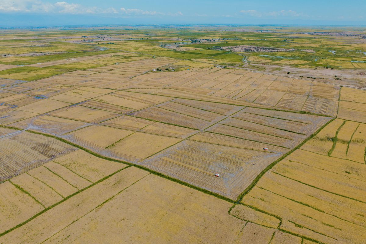
Pre-computed Earth embeddings such as Google's AlphaEarth Foundations dataset let teams map farmland and crops with a fraction of the data and compute.
2026-10-12 · 5 min read
12 Open Geospatial Data Sources Every Nigerian GIS Team Should Use
You don't need a big budget to start. These free datasets cover imagery, population, rainfall, terrain and infrastructure for Nigeria.
2026-09-06 · 4 min read