
Anticipatory Action: Getting Cash to Families Before the Flood
Acting on forecasts rather than after disasters costs less and protects more. How forecast-based financing could work in Nigeria.
StrikeClimate Insights Team · · 4 min read
Traditional disaster response waits for the damage, then sends help. Anticipatory action flips this: when a reliable forecast crosses a pre-agreed threshold, money and support are released before the hazard hits.
Why it works Families who receive cash a few days before a flood can move livestock, protect food stocks, repair roofs or relocate. Humanitarian organisations have piloted this approach across Africa and Asia, with promising results.
The three ingredients 1. Triggers: objective thresholds based on forecasts and observations, such as river levels or rainfall. 2. Pre-agreed actions: what will be done, by whom and for whom. 3. Pre-arranged finance: funds that can be released automatically.
Where geospatial data comes in - Defining who is in the impact zone using population and settlement data. - Calibrating triggers against historical satellite flood records. - Verifying outcomes after the event.
A Nigerian roadmap - Start with river floods on the Niger and Benue, where forecasts are most reliable. - Pre-register beneficiaries with mobile money or bank accounts. - Use digital postcodes for precise targeting. - Test and refine triggers each season.
StrikeClimate helps agencies design trigger models and targeting maps for anticipatory action programmes.
- #anticipatory action
- #forecast-based financing
- #humanitarian
- #cash transfers
Keep reading

After Mokwa: Building Impact-Based Flood Early Warning in Nigeria
The 2025 Mokwa disaster showed that knowing it will rain isn't enough. Here's what an impact-based flood warning system needs.
2026-10-10 · 6 min read
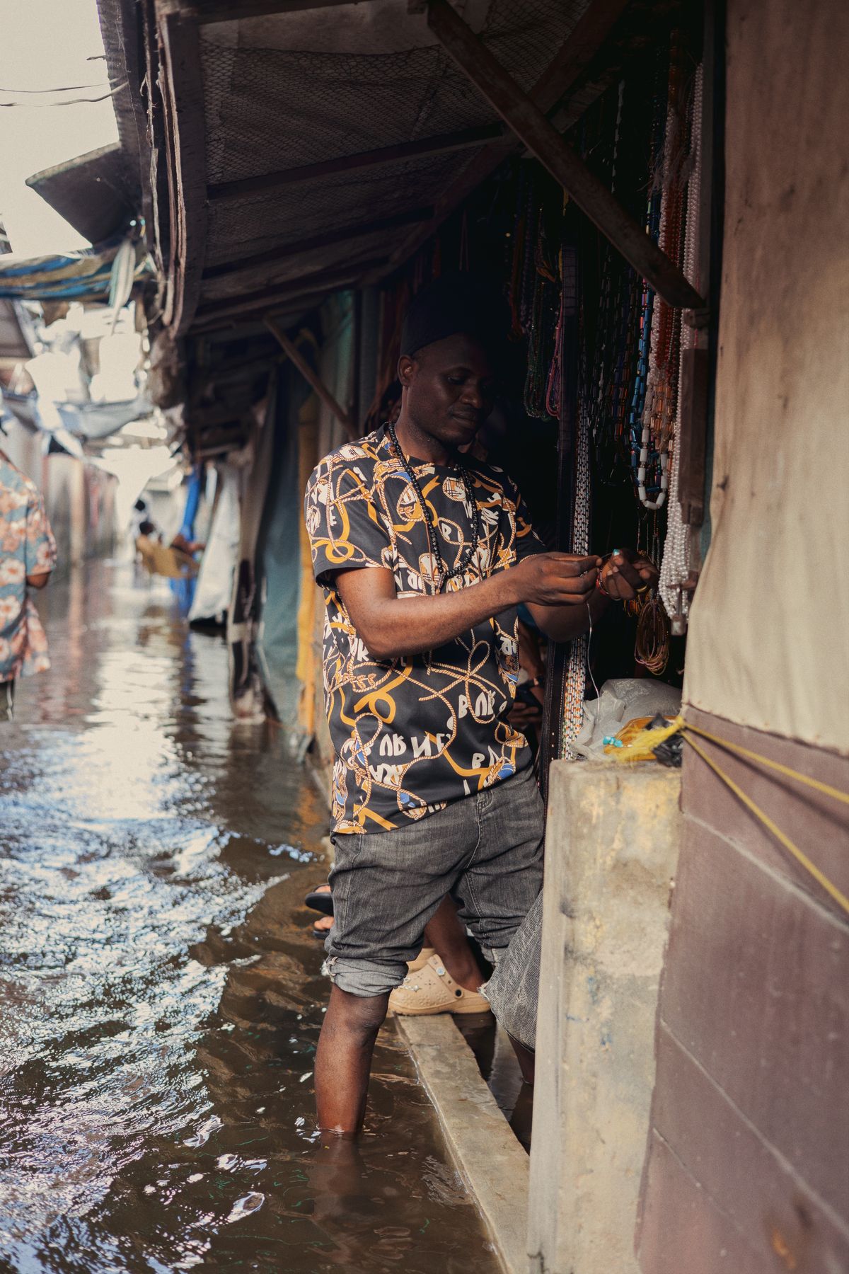
Flood-Season Resilience Checklist for Nigerian Businesses
A practical, data-driven checklist for warehouses, factories, farms and retail chains to cut flood losses every rainy season.
2026-10-08 · 4 min read
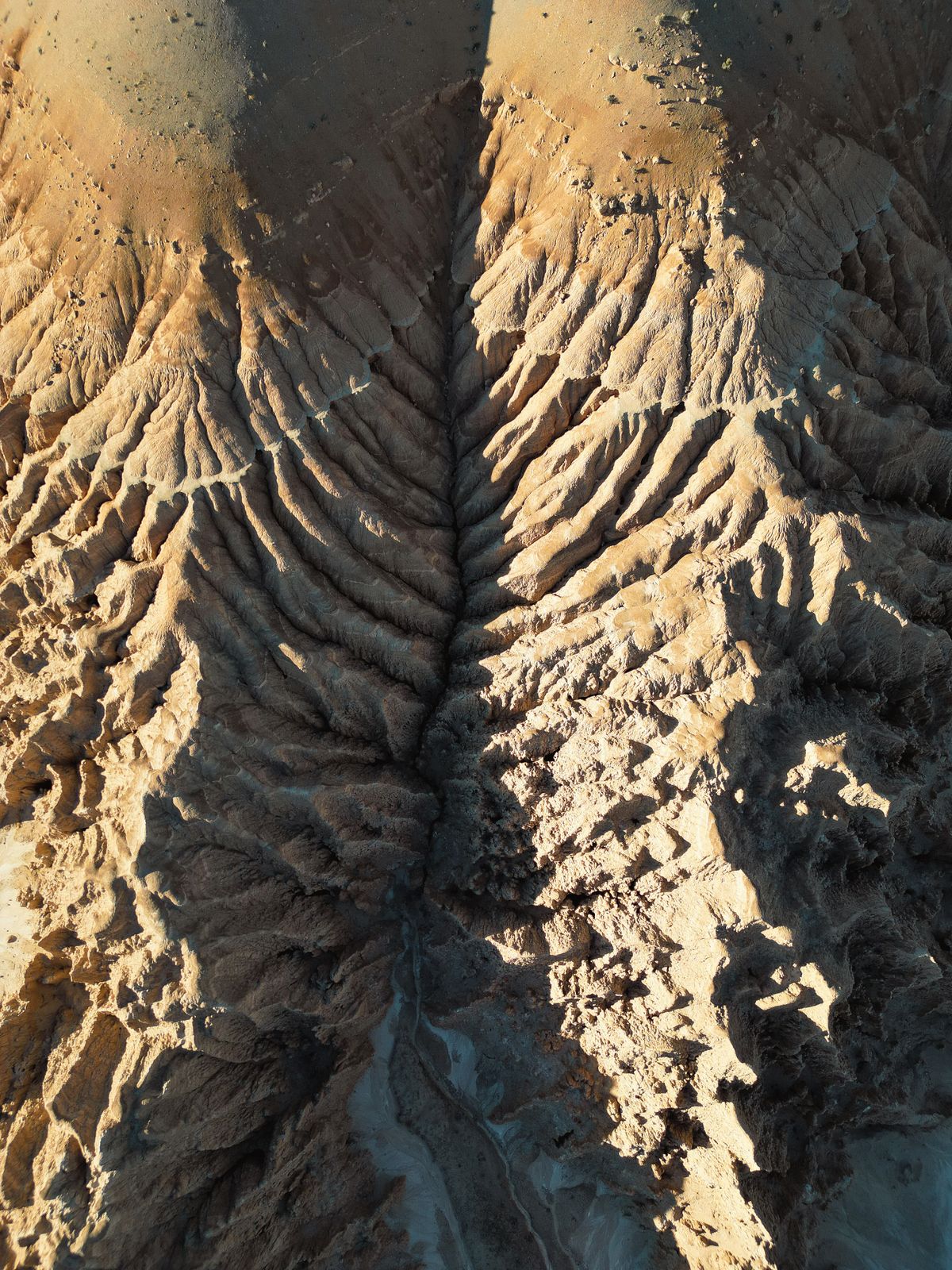
Stopping Gully Erosion in South-East Nigeria with Satellite Monitoring
InSAR, high-resolution elevation models and AI can spot unstable slopes before they become road-swallowing gullies.
2026-10-06 · 5 min read