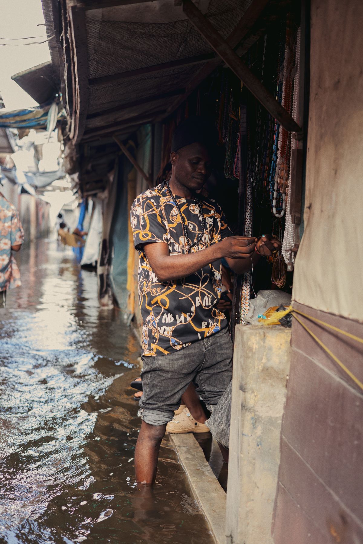
Flood-Season Resilience Checklist for Nigerian Businesses
A practical, data-driven checklist for warehouses, factories, farms and retail chains to cut flood losses every rainy season.
StrikeClimate Insights Team · · 4 min read
Every rainy season Nigerian businesses lose inventory, delivery days and revenue to flooding. Most of those losses are predictable. Use this checklist to get ahead.
Before the season - Map your exposure. Geocode every site, warehouse and key supplier, then overlay flood-hazard maps. - Check elevation. Small differences in ground height decide which sites flood. - Review insurance. Confirm flood cover and document your assets with photos and coordinates. - Plan alternate routes for logistics corridors known to flood.
During the season - Subscribe to alerts from NiMet, NIHSA and an impact-based provider for your exact locations. - Set triggers. For example: "if the river gauge exceeds X, move stock off the ground floor". - Track access roads so drivers avoid flooded routes.
After a flood - Use satellite imagery to document the event for insurance claims. - Run a post-event review. What worked, what failed and what it cost. - Update your risk map with what actually happened.
The data advantage Companies that treat climate risk as operational data, not bad luck, cut losses year after year. StrikeClimate offers site risk screening and alerting for portfolios of any size. Request a quote to screen your locations.
- #business continuity
- #flood risk
- #insurance
- #logistics
Keep reading
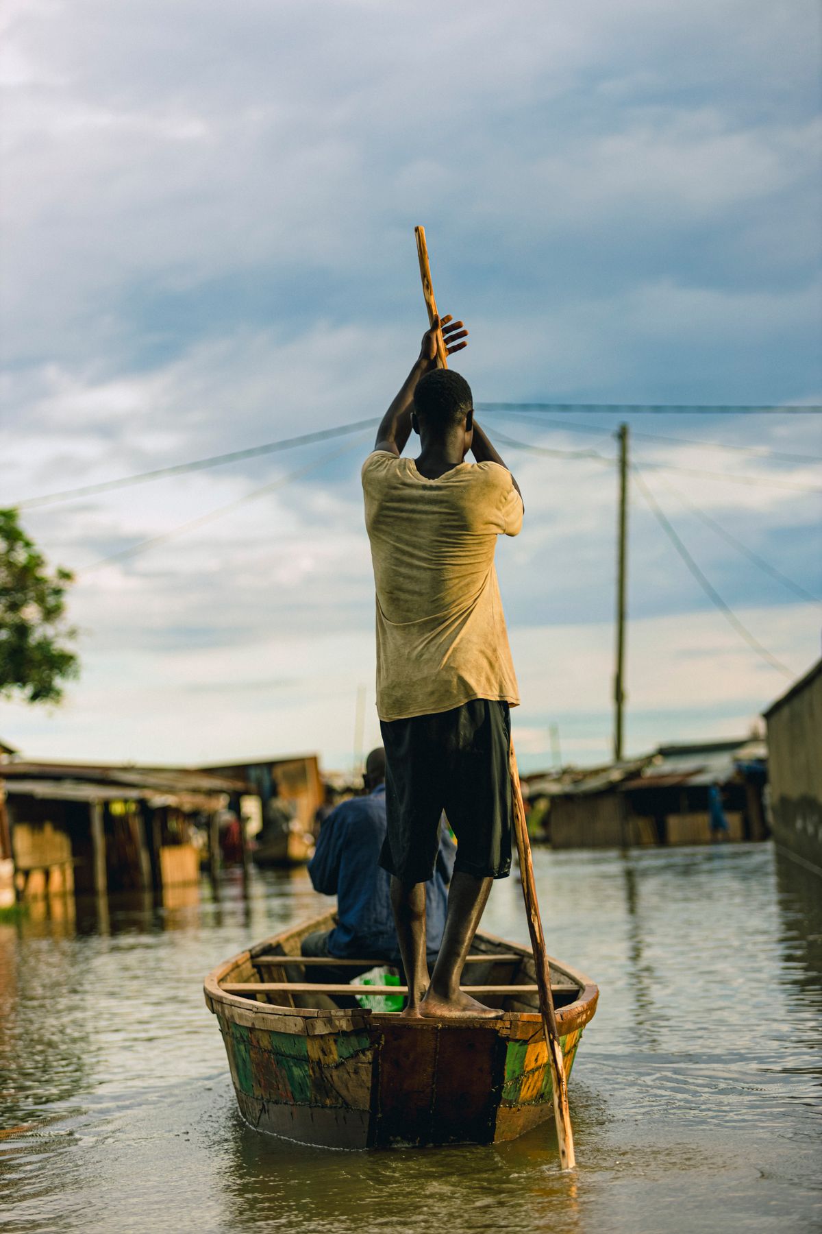
After Mokwa: Building Impact-Based Flood Early Warning in Nigeria
The 2025 Mokwa disaster showed that knowing it will rain isn't enough. Here's what an impact-based flood warning system needs.
2026-10-10 · 6 min read
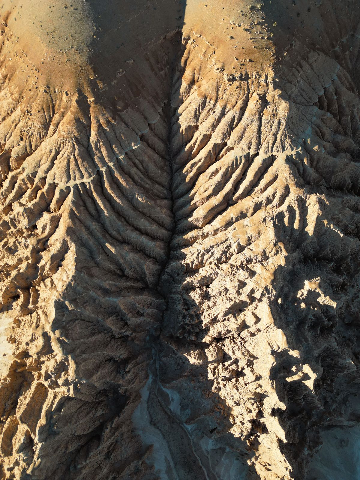
Stopping Gully Erosion in South-East Nigeria with Satellite Monitoring
InSAR, high-resolution elevation models and AI can spot unstable slopes before they become road-swallowing gullies.
2026-10-06 · 5 min read
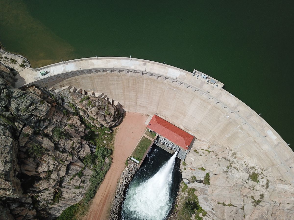
Alau Dam Collapse: Lessons for Dam Safety Monitoring in Nigeria
The 2024 Maiduguri flood displaced at least 400,000 people. Here's how satellites and dam-break models can stop the next one from becoming a disaster.
2026-09-30 · 5 min read