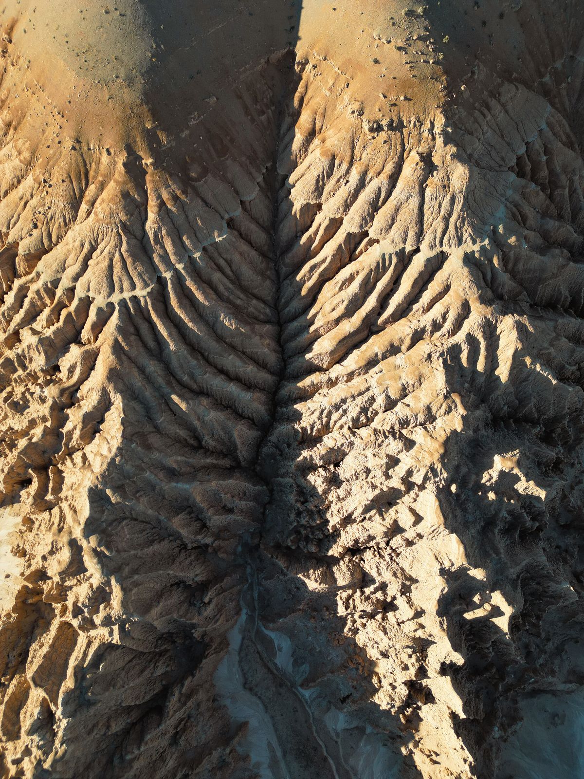
Stopping Gully Erosion in South-East Nigeria with Satellite Monitoring
InSAR, high-resolution elevation models and AI can spot unstable slopes before they become road-swallowing gullies.
StrikeClimate Insights Team · · 5 min read
Few hazards are as visible, or as destructive, as the gully erosion sites of Anambra, Imo, Abia and Enugu. Homes, schools and highways have been swallowed, and repairs cost billions of naira.
Why gullies keep winning Most interventions start after a gully has formed. By then, engineering works are expensive and land is already lost.
Seeing erosion before it's obvious - InSAR (radar interferometry) measures millimetre-scale ground movement from satellite passes and flags slopes that are starting to slide. - High-resolution DEMs reveal drainage concentration points where runoff will cut new channels. - AI change detection on optical imagery tracks gully heads advancing season by season. - Rainfall intensity data links progression to storms so we can forecast risk.
Turning maps into action 1. Build a state gully inventory with growth rates. 2. Rank sites by threat to people, roads and assets. 3. Target low-cost early measures such as drainage diversion, vegetation and check dams where they're most effective. 4. Monitor results to prove what works and to unlock development finance.
The economics Prevention and early stabilisation cost a fraction of reconstruction. With continuous monitoring, states can show funders measurable outcomes.
StrikeClimate builds gully-monitoring dashboards that combine radar, optical imagery and terrain analysis for state ministries and development partners.
- #gully erosion
- #InSAR
- #Anambra
- #infrastructure
Keep reading

After Mokwa: Building Impact-Based Flood Early Warning in Nigeria
The 2025 Mokwa disaster showed that knowing it will rain isn't enough. Here's what an impact-based flood warning system needs.
2026-10-10 · 6 min read
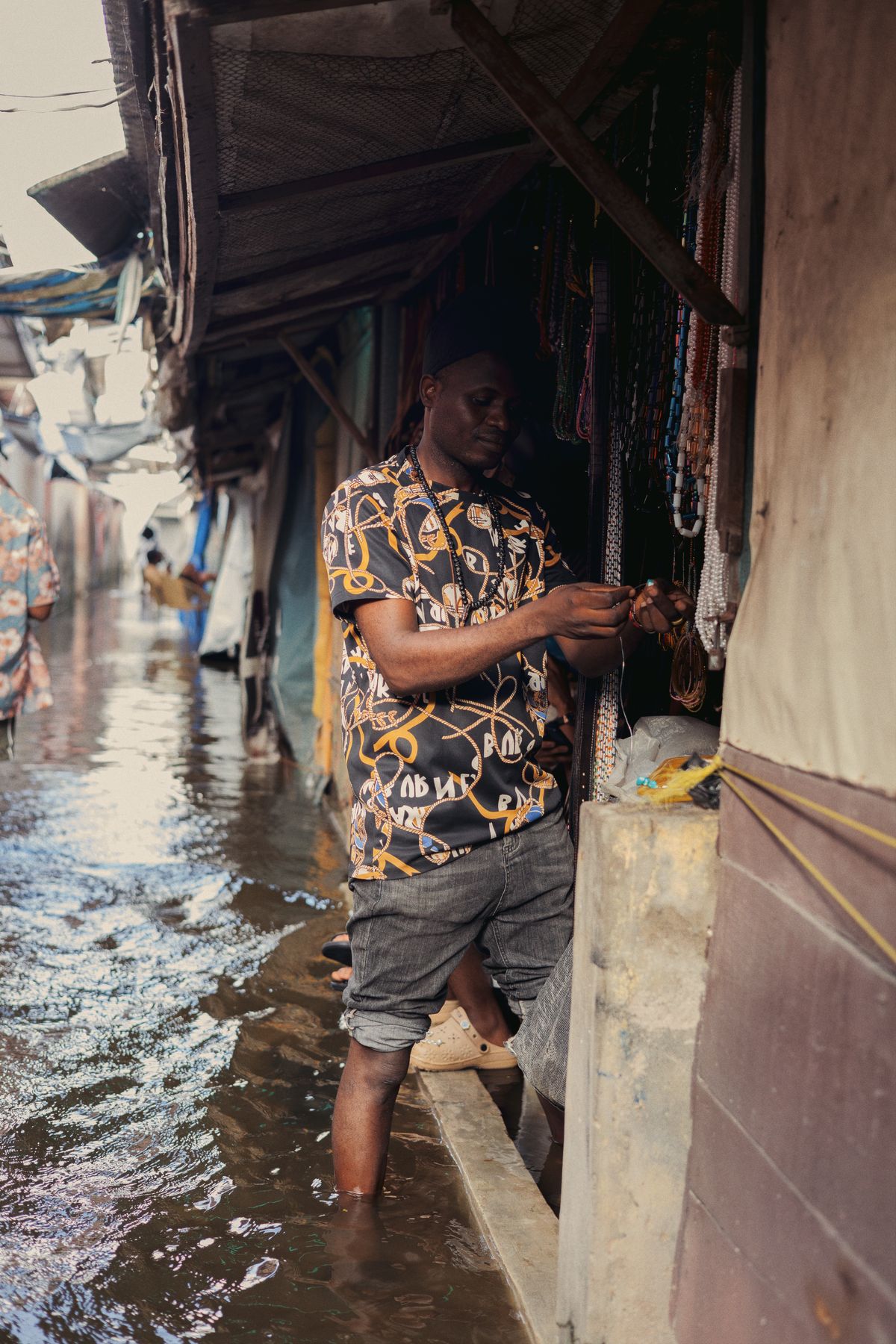
Flood-Season Resilience Checklist for Nigerian Businesses
A practical, data-driven checklist for warehouses, factories, farms and retail chains to cut flood losses every rainy season.
2026-10-08 · 4 min read
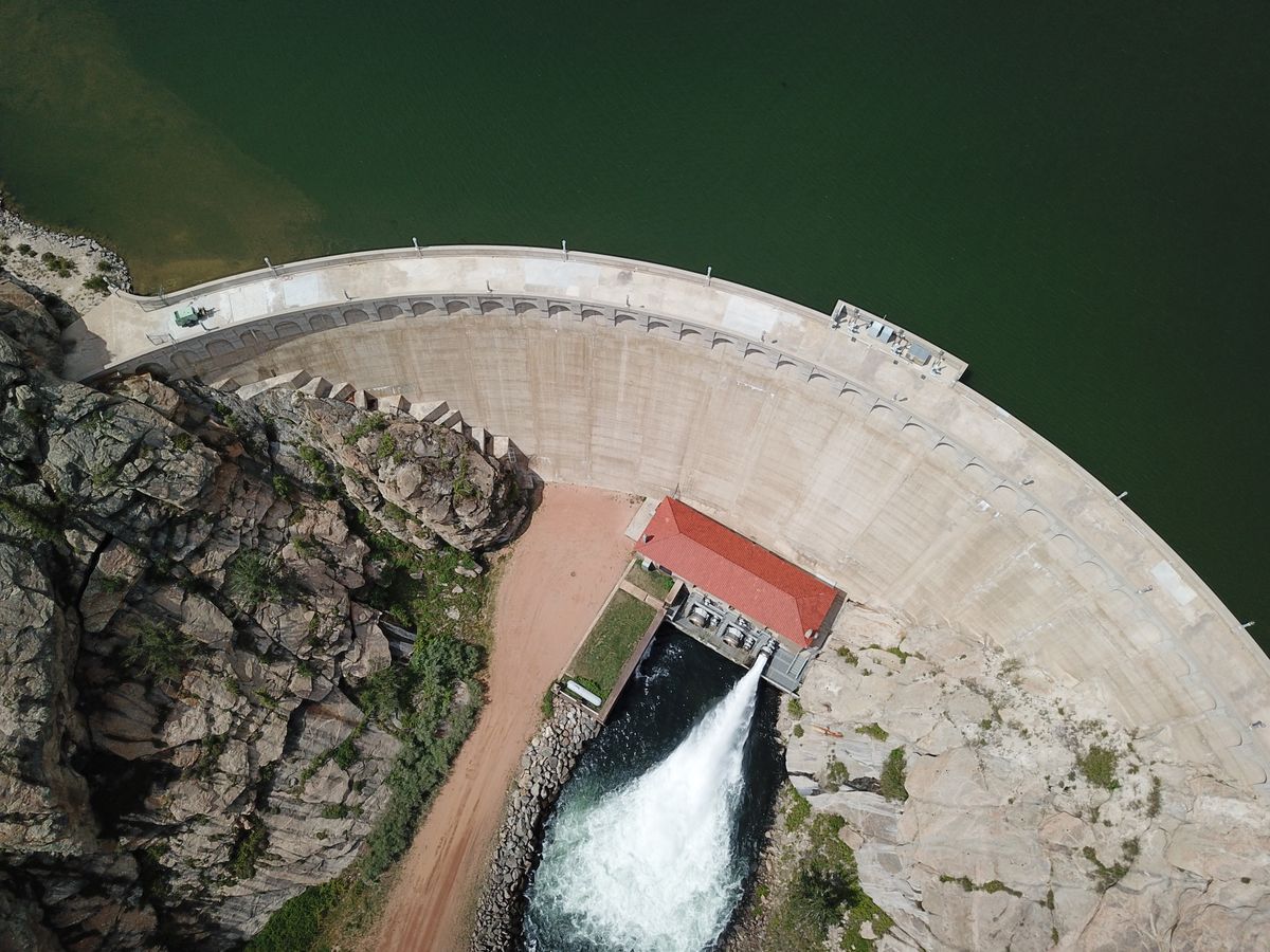
Alau Dam Collapse: Lessons for Dam Safety Monitoring in Nigeria
The 2024 Maiduguri flood displaced at least 400,000 people. Here's how satellites and dam-break models can stop the next one from becoming a disaster.
2026-09-30 · 5 min read