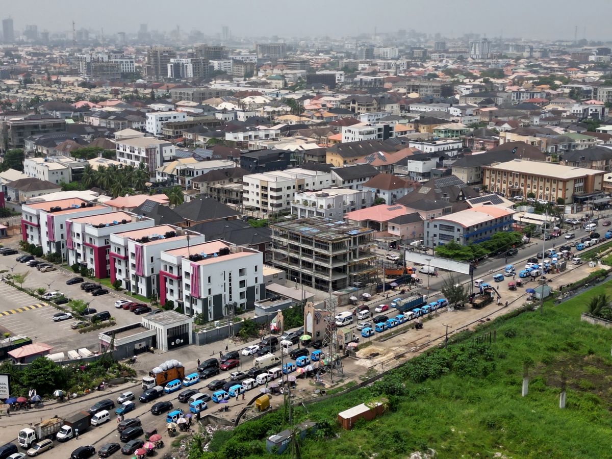
Lagos Is Heating Up: Using Data to Fight Urban Heat and Air Pollution
Satellite land-surface temperature and low-cost sensors reveal which Lagos neighbourhoods are hottest and most polluted, and what to do about it.
StrikeClimate Insights Team · · 5 min read
Lagos is one of the fastest-growing megacities on Earth. Dense construction, shrinking green space, traffic and generator emissions create urban heat islands and poor air quality that hit the most vulnerable hardest.
Mapping the hottest streets Satellite land-surface temperature from Landsat and ECOSTRESS shows clear hotspots. Dense informal settlements and industrial zones can run several degrees hotter than leafy or waterfront areas. Combined with population data, this pinpoints where heat stress is most dangerous.
Measuring the air people breathe Low-cost PM2.5 sensors at schools, markets and bus terminals give hyperlocal readings that regulatory stations can't. Satellite aerosol and NO₂ data fill gaps between sensors.
From data to policy - Cool corridors: prioritise tree planting and shading on the hottest pedestrian routes. - Cool roofs: target reflective roofing programmes at heat-vulnerable neighbourhoods. - School protocols: move outdoor activities when pollution or heat spikes. - Health alerts: push multilingual advisories to residents on extreme days. - Planning rules: protect wetlands and green space that cool the city.
Why it pays Heat and pollution reduce productivity, increase hospital visits and shorten lives. Targeted interventions guided by data cost far less than blanket programmes.
StrikeClimate combines satellite analytics and IoT sensor networks into city dashboards for governments, developers and schools.
- #urban heat
- #air quality
- #Lagos
- #IoT sensors
Keep reading

Lagos on the Edge: Tracking Coastal Erosion and Ocean Surge from Space
Shoreline retreat and ocean surges threaten homes, roads and estates along Nigeria's Atlantic coast. Decades of imagery show where the coast is moving.
2026-09-20 · 4 min read

Smart Water: IoT and Predictive Maintenance for Community Boreholes
Broken boreholes leave communities without water for weeks. Sensors and simple analytics can predict failures before they happen.
2026-09-02 · 4 min read

Nigeria's Digital Postcode System: 7 Ways Businesses and Governments Can Use It
The GIS-based National Digital Alphanumeric Postcode System gives every building a machine-readable address. Here's how to turn it into revenue, resilience and better services.
2026-10-20 · 6 min read