
Lagos on the Edge: Tracking Coastal Erosion and Ocean Surge from Space
Shoreline retreat and ocean surges threaten homes, roads and estates along Nigeria's Atlantic coast. Decades of imagery show where the coast is moving.
StrikeClimate Insights Team · · 4 min read
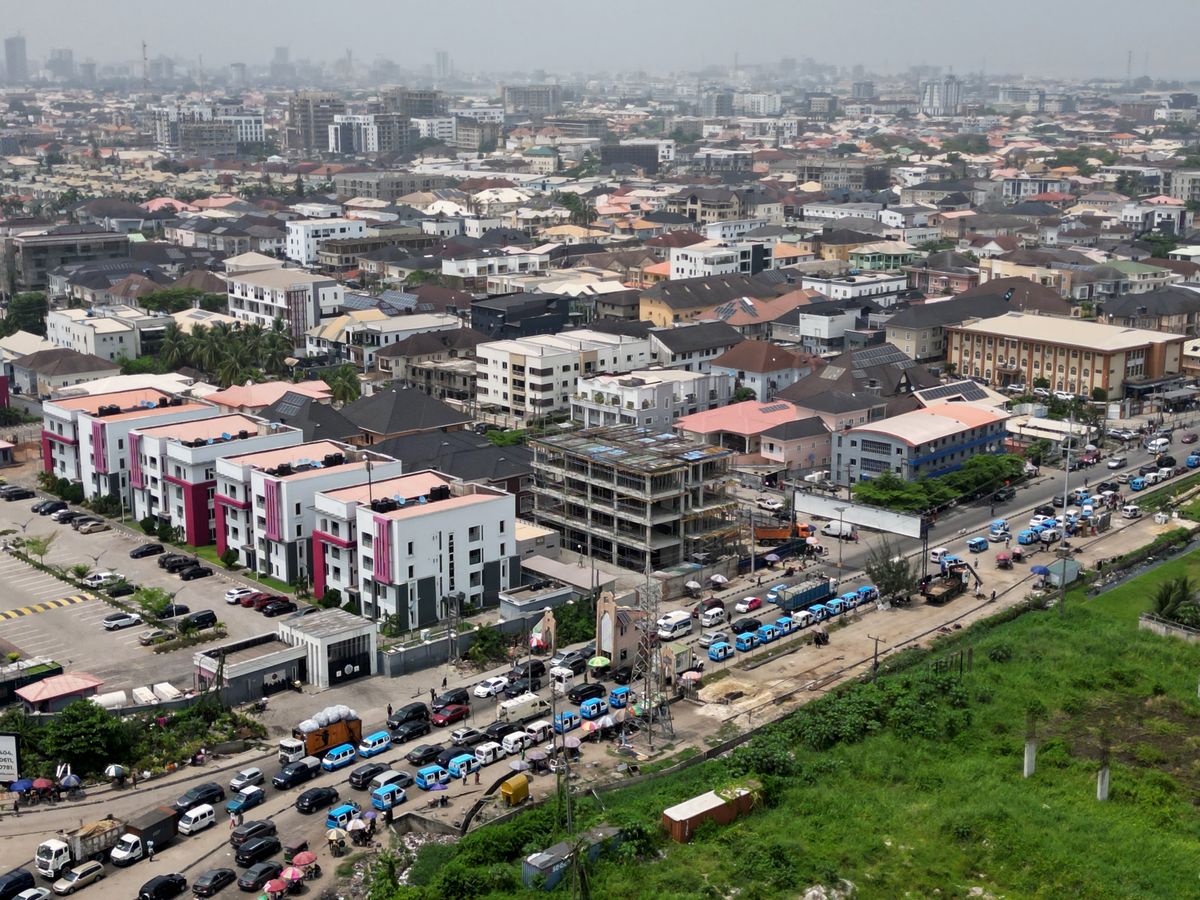
From Victoria Island to the Lekki corridor and the Niger Delta, Nigeria's coastline is dynamic. Ocean surges periodically flood beachfront communities, and parts of the shoreline are retreating, while major new roads and estates are being built along the Atlantic coast.
What drives coastal risk - Natural erosion from waves and longshore currents. - Sand mining and changes to sediment supply. - Low-lying land and subsidence. - Rising sea levels and stronger storms.
Measuring a moving coast Satellite archives going back decades make it possible to extract shorelines automatically and calculate how fast each stretch of coast is moving. Combined with elevation models and tide data, this shows which assets are exposed to surges.
Uses for decision-makers 1. Infrastructure siting: keep roads and utilities out of retreating zones, or design for them. 2. Real estate due diligence: check shoreline trends before buying or financing. 3. Coastal protection: prioritise groynes, revetments or nature-based solutions such as mangroves where they're most needed. 4. Insurance: price coastal exposure fairly.
Getting started A shoreline-change study for a specific stretch of coast can be delivered quickly using open satellite data. StrikeClimate provides coastal-risk reports and ongoing monitoring for developers, states and investors.
- #coastal erosion
- #ocean surge
- #Lagos
- #shoreline
Keep reading
Lagos Is Heating Up: Using Data to Fight Urban Heat and Air Pollution
Satellite land-surface temperature and low-cost sensors reveal which Lagos neighbourhoods are hottest and most polluted, and what to do about it.
2026-10-02 · 5 min read

Smart Water: IoT and Predictive Maintenance for Community Boreholes
Broken boreholes leave communities without water for weeks. Sensors and simple analytics can predict failures before they happen.
2026-09-02 · 4 min read

Nigeria's Digital Postcode System: 7 Ways Businesses and Governments Can Use It
The GIS-based National Digital Alphanumeric Postcode System gives every building a machine-readable address. Here's how to turn it into revenue, resilience and better services.
2026-10-20 · 6 min read