
Geospatial Careers in Nigeria: The Skills in Demand for 2026 and Beyond
GeoAI, cloud processing and domain expertise are reshaping GIS jobs. A guide for students, professionals and employers.
StrikeClimate Insights Team · · 4 min read
Nigeria's renewed investment in national geospatial data, the digital postcode rollout and growing climate finance are creating demand for geospatial talent. The profession is changing quickly, though.
Skills in demand - Programming: Python and SQL for automated pipelines. - Cloud geospatial: Google Earth Engine, cloud-optimised formats and scalable processing. - GeoAI: fine-tuning foundation models and working with Earth embeddings. - Remote sensing fundamentals: optical vs. radar, resolution trade-offs and accuracy assessment. - Domain knowledge: hydrology, agriculture, energy, urban planning or finance. - Communication: turning maps into decisions for non-technical audiences.
How to build them 1. Learn by doing: pick a local problem such as flood mapping your LGA. 2. Contribute to OpenStreetMap and local mapping communities. 3. Join events such as State of the Map Africa and Deep Learning Indaba workshops. 4. Publish your work on GitHub and LinkedIn.
For employers Invest in training on cloud and AI tools, pair junior analysts with domain experts and build reusable pipelines instead of one-off maps.
StrikeClimate works with young Nigerian geospatial professionals through projects and internships. Reach out if you'd like to collaborate.
- #careers
- #GIS skills
- #GeoAI
- #education
Keep reading

Nigeria's Digital Postcode System: 7 Ways Businesses and Governments Can Use It
The GIS-based National Digital Alphanumeric Postcode System gives every building a machine-readable address. Here's how to turn it into revenue, resilience and better services.
2026-10-20 · 6 min read
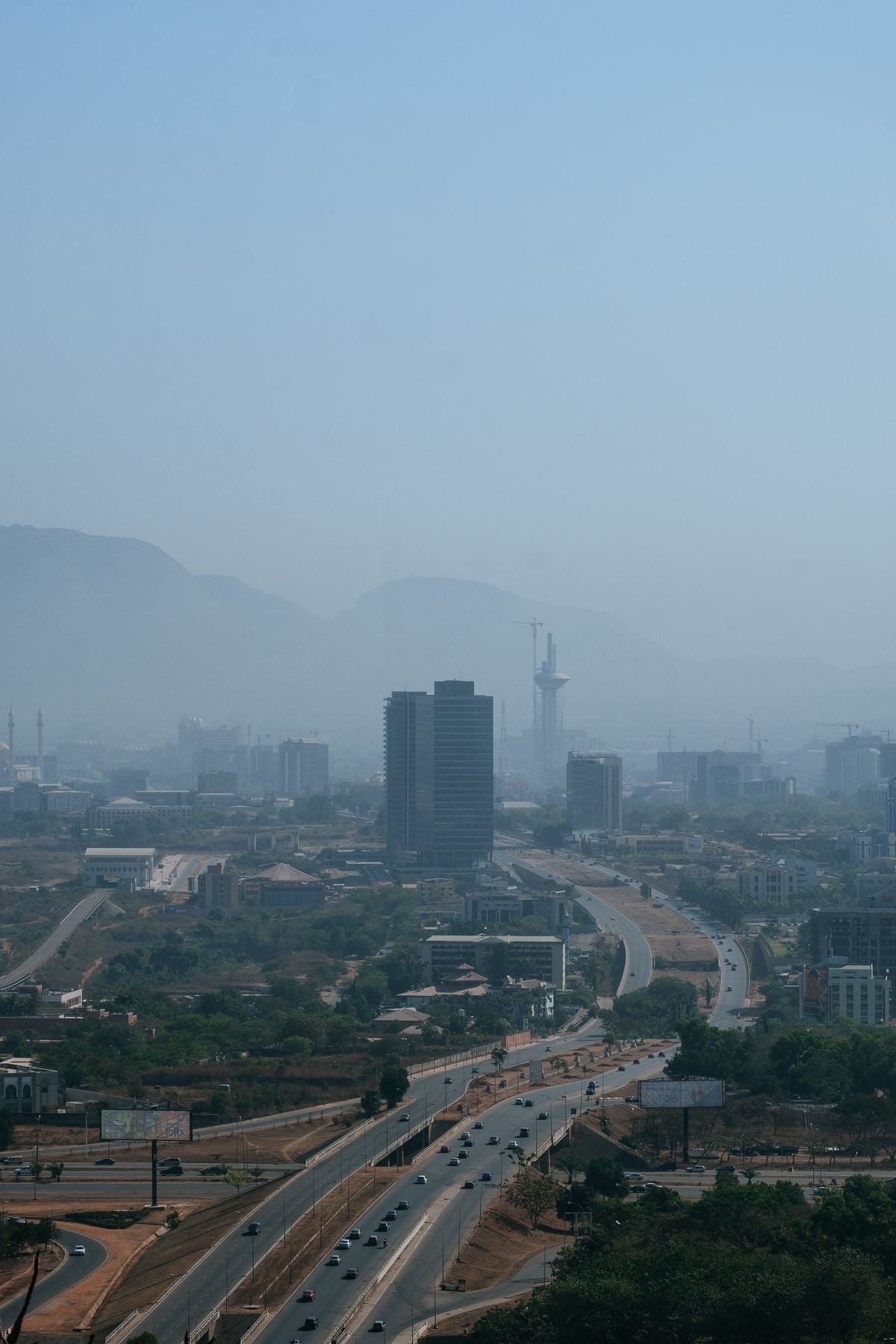
How to Maximise Nigeria's Renewed National Geospatial Data Push
From the 2026 national geospatial database initiative to NGDI and Land4Growth, Nigeria is finally investing in foundational maps. Here's how the private sector can benefit.
2026-10-18 · 5 min read

IFRS S2 in Nigeria: What Physical Climate-Risk Disclosure Requires
The FRC roadmap makes IFRS S1 and S2 mandatory for public interest entities from 2028. Here's how to assess physical climate risk to your assets.
2026-09-08 · 5 min read