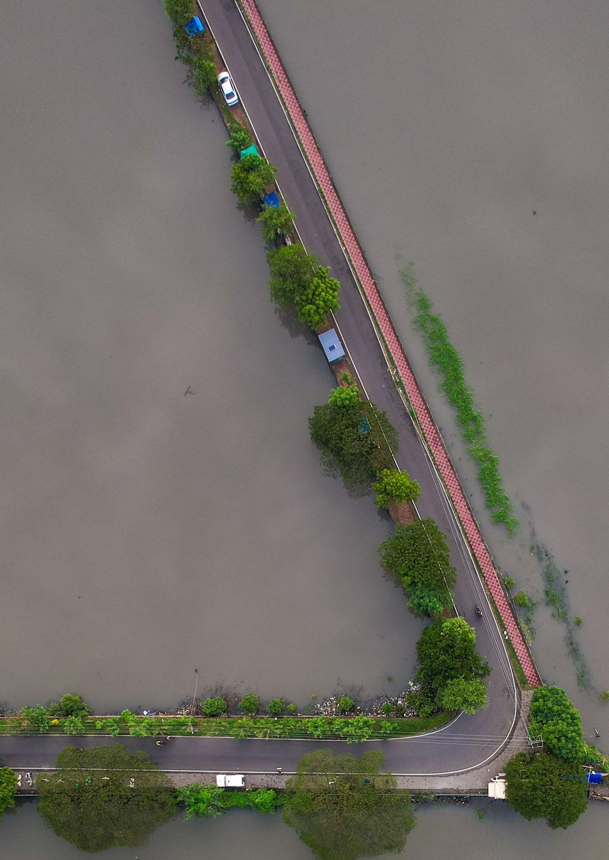
How to Use NIHSA's Annual Flood Outlook for Your LGA or Business
The Annual Flood Outlook flags high-risk LGAs every year. Here's how to turn its maps into concrete preparedness actions.
StrikeClimate Insights Team · · 4 min read
Every year the Nigeria Hydrological Services Agency (NIHSA) publishes its Annual Flood Outlook (AFO), which classifies Local Government Areas by flood risk for the coming season. It is one of the most useful free resources for flood preparedness, yet it is often read once and forgotten.
What the AFO tells you - Which LGAs are at high or moderate risk of riverine, flash and coastal flooding. - Which periods of the season carry the highest risk. - Key river systems and reservoirs to watch, including the Niger and Benue.
What it doesn't tell you The AFO works at LGA scale. It can't say which street, warehouse or farm inside an LGA will flood. That's where local hazard mapping comes in.
Turning the outlook into action 1. Find your LGAs in the high-risk list and note the expected peak months. 2. Zoom in by overlaying satellite flood history and elevation data on your sites. 3. Set triggers, for example "if NIHSA issues a river warning for Lokoja, move stock to the upper floor". 4. Plan logistics around roads that flooded in past seasons. 5. Brief communities and staff before the rains, not during them.
For local governments Use the AFO to prioritise drain clearing, enforce setbacks on flood plains and pre-position relief materials in high-risk wards.
StrikeClimate turns national outlooks into site-level flood intelligence and alerts. Request a quote to screen your locations before the next season.
- #NIHSA
- #Annual Flood Outlook
- #preparedness
- #LGA
Keep reading

After Mokwa: Building Impact-Based Flood Early Warning in Nigeria
The 2025 Mokwa disaster showed that knowing it will rain isn't enough. Here's what an impact-based flood warning system needs.
2026-10-10 · 6 min read
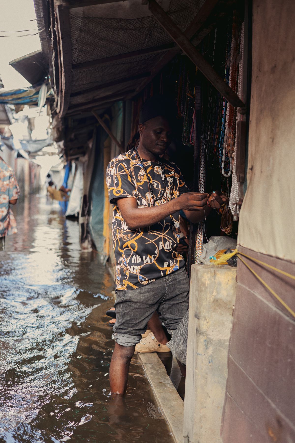
Flood-Season Resilience Checklist for Nigerian Businesses
A practical, data-driven checklist for warehouses, factories, farms and retail chains to cut flood losses every rainy season.
2026-10-08 · 4 min read
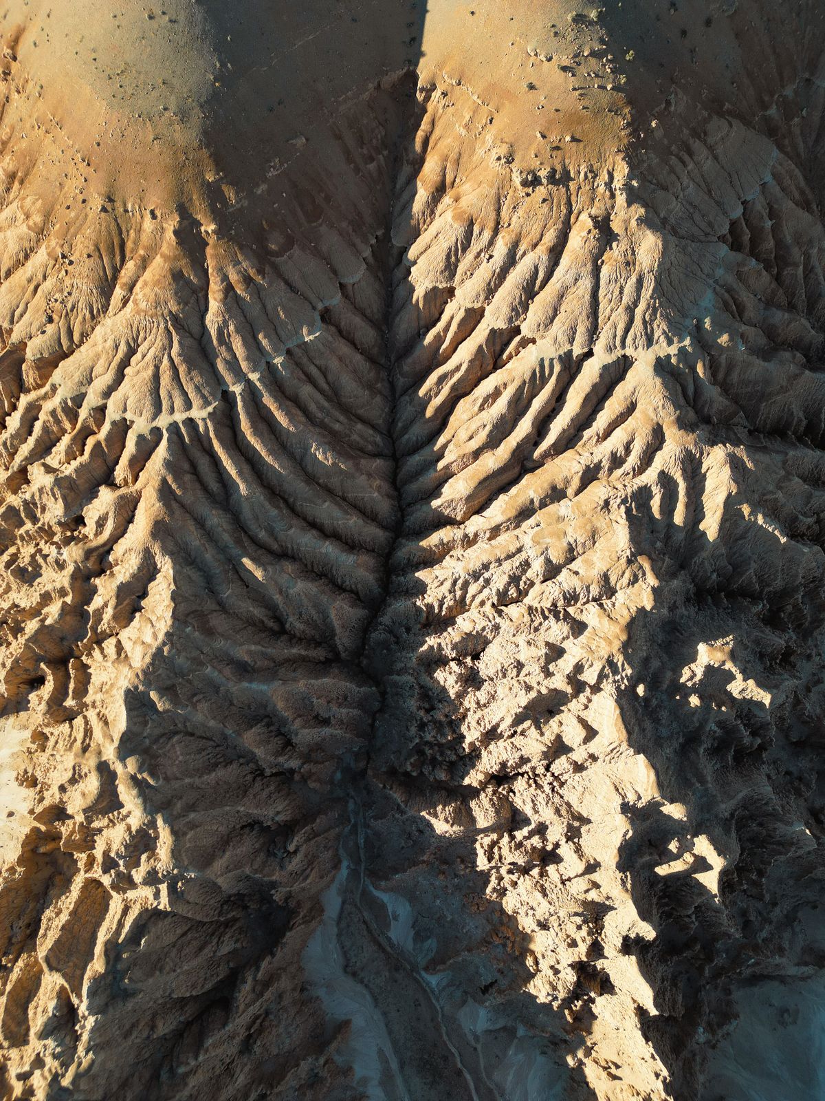
Stopping Gully Erosion in South-East Nigeria with Satellite Monitoring
InSAR, high-resolution elevation models and AI can spot unstable slopes before they become road-swallowing gullies.
2026-10-06 · 5 min read